| Vurrusjøen | |
|---|---|
 View of the lake | |
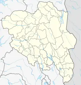
 Vurrusjøen Location of the lake Show map of Innlandet Vurrusjøen Vurrusjøen (Norway) Show map of Norway | |
| Location | Engerdal Municipality, Innlandet |
| Coordinates | 61°52′31″N 12°6′36″E / 61.87528°N 12.11000°E / 61.87528; 12.11000 |
| Basin countries | Norway |
| Max. length | 6.7 kilometres (4.2 mi) |
| Max. width | 1.3 kilometres (0.81 mi) |
| Surface area | 5.06 km2 (1.95 sq mi) |
| Max. depth | 19.5 metres (64 ft) |
| Shore length1 | 20.45 kilometres (12.71 mi) |
| Surface elevation | 663 metres (2,175 ft) |
| References | NVE[1] |
| 1 Shore length is not a well-defined measure. | |
Vurrusjøen is a lake in Engerdal Municipality in Innlandet county, Norway. The 5-square-kilometre (1.9 sq mi) lake lies immediately west of the border with Sweden and the village of Drevsjø sits on the west end of the lake. The Swedish lake Fløtningsjøen lies just east of this lake.
See also
References
- ↑ "Innsjødatabase". nve.no (in Norwegian). Retrieved 1 March 2022.
This article is issued from Wikipedia. The text is licensed under Creative Commons - Attribution - Sharealike. Additional terms may apply for the media files.