Voda, Kansas | |
|---|---|
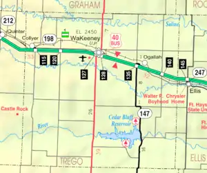
 KDOT map of Trego County (legend) | |
 Voda  Voda | |
| Coordinates: 39°2′57″N 100°1′11″W / 39.04917°N 100.01972°W[1] | |
| Country | United States |
| State | Kansas |
| County | Trego |
| Elevation | 2,549 ft (777 m) |
| Time zone | UTC-6 (CST) |
| • Summer (DST) | UTC-5 (CDT) |
| Area code | 785 |
| FIPS code | 20-74125 [1] |
| GNIS ID | 471360 [1] |
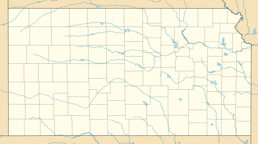
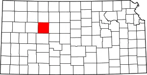
Voda is an unincorporated community in Trego County, Kansas, United States.[1] It is located approximately 7 miles west of WaKeeney.
History
A post office in Voda opened in 1904, closed in 1907, reopened in 1912, and closed permanently in 1913.[2]
References
- 1 2 3 4 5 "Voda, Kansas", Geographic Names Information System, United States Geological Survey, United States Department of the Interior
- ↑ "Kansas Post Offices, 1828-1961". Kansas Historical Society. Archived from the original on October 9, 2013. Retrieved June 27, 2014.
Further reading
External links
This article is issued from Wikipedia. The text is licensed under Creative Commons - Attribution - Sharealike. Additional terms may apply for the media files.
