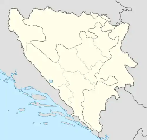
Vitovlje Malo | |
|---|---|
Village | |
| Etymology: Little Vitovlje [1] | |
 Vitovlje Malo | |
| Coordinates: 44°20′57″N 17°27′27″E / 44.3492°N 17.4575°E | |
| Country | |
| Entity | Federation of Bosnia and Herzegovina |
| Canton | |
| Municipality | |
| Area | |
| • Total | 2.53 sq mi (6.56 km2) |
| Elevation | 3,638 ft (1,109 m) |
| Population (2013) | |
| • Total | 163 |
| • Density | 64/sq mi (25/km2) |
| Time zone | UTC+1 (CET) |
| • Summer (DST) | UTC+2 (CEST) |
| Area code | +387 30 |
Vitovlje Malo is a village in the municipality of Dobretići, Central Bosnia Canton, Bosnia and Herzegovina.[2]
History
Vitovlje Malo was at one time in Skender Vakuf municipality, in the then country of Yugoslavia. Under the 1995 Dayton Agreement, which concluded the Bosnian War of 1992–1995, Bosnia and Herzegovina was divided into the two political entities Federation of Bosnia and Herzegovina and Republika Srpska. Skender Vakuf (by then renamed Kneževo) became part of the latter, and Vitovlje Malo of the former. Vitovlje Malo was accordingly transferred to the new municipality of Dobretići, in the Federation of Bosnia and Herzegovina.
Demographics
Population data from official censuses are:
| Year | Bosniaks | Croats | Serbs | Others | Total | Source |
|---|---|---|---|---|---|---|
| 1971 | 148 | 1 | 149 | [3] | ||
| 1981 | 11 | 249 | 1 | 261 | [4] | |
| 1991 | 203 | 203 | [5] | |||
| 2013 | 162 | 1 | 163 | [6] |
References
- ↑ Perhaps "little" in comparison with the larger and nearby Bosnian village of Vitovlje, Travnik.
- ↑ Official results from the book: Ethnic composition of Bosnia-Herzegovina population, by municipalities and settlements, 1991. census, Zavod za statistiku Bosne i Hercegovine - Bilten no.234, Sarajevo 1991.
- ↑ "Nacionalni sastav stanovništva SFR Jugoslavije" (PDF). Government of Serbia (in Serbian). 1971. Retrieved 13 September 2017.
- ↑ "Nacionalni sastav stanovništva SFR Jugoslavije" (PDF). Government of Serbia (in Serbian). 1981. Retrieved 13 September 2017.
- ↑ "Nacionalni sastav stanovništva Republike Bosne i Hercegovine" (PDF). Federalni zavod za statistiku (in Bosnian). Bosnia and Herzegovina. 1991. p. 94. Retrieved 13 September 2017.
- ↑ "Naseljena Mjesta 1991/2013" (in Bosnian). Statistical Office of Bosnia and Herzegovina. Retrieved 31 October 2021.
This article is issued from Wikipedia. The text is licensed under Creative Commons - Attribution - Sharealike. Additional terms may apply for the media files.