Vier Gebroeders Airstrip | |||||||||||
|---|---|---|---|---|---|---|---|---|---|---|---|
| Summary | |||||||||||
| Airport type | Public | ||||||||||
| Operator | Luchtvaartdienst Suriname | ||||||||||
| Location | Vier Gebroeders | ||||||||||
| Elevation AMSL | 1,110 ft / 338 m | ||||||||||
| Coordinates | 1°57′45″N 55°55′45″W / 1.96250°N 55.92917°W | ||||||||||
| Map | |||||||||||
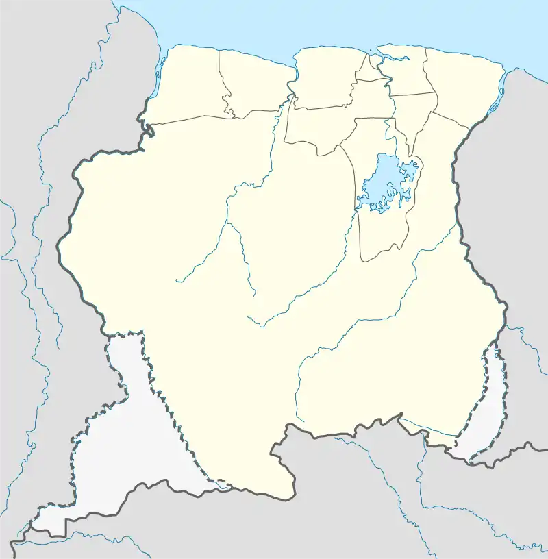
 SMVG Location in Suriname
[1] | |||||||||||
| Runways | |||||||||||
| |||||||||||
HERE Maps[2] | |||||||||||
Vier Gebroeders Airstrip (ICAO: SMVG), also known as Meyers' airstrip or Mamija airstrip, is and airport near Vier Gebroeders, Suriname.[3] The runway is on the border with Brazil.
History
The airstrip was built as a private airstrip for a cattle farm founded by an American by the name of Meyers. Meyers gained permission from the Surinamese government to found a cattle farm in the Sipaliwini Savanna in 1967. Although cattle were indeed imported, the premature death of Meyers in an accident meant that the cattle farm never started in earnest. During an expedition to the Sipaliwini savanna in 1969, two employees of the Geologisch Mijnbouwkundige Dienst and Dienst 's Lands Bosbeheer stayed at the abandoned farm and indeed encountered cattle.[4]
Charters and destinations
Charter Airlines serving this airport are:
| Airlines | Destinations |
|---|---|
| Blue Wing Airlines | Charter: Paramaribo–Zorg en Hoop[5] |
| Gum Air | Charter: Paramaribo–Zorg en Hoop[6] |
| Hi-Jet Helicopter Services | Charter: Paramaribo–Zorg en Hoop |
See also
References
- ↑ "Weather-Vier Gebroeders-Smvg". Rocketroute.com. Retrieved 2015-10-18.
- ↑ HERE Maps - Vier Gebroeders
- ↑ "De Vier Gebroeders, Suriname - Geographical Names, map, geographic coordinates". Geographic.org. 1993-12-15. Retrieved 2015-10-18.
- ↑ F.C. Bubberman (2013) Kennismaking met de Sipaliwini-savanne
- ↑ "Blue Wing schedule". Archived from the original on 2013-05-22. Retrieved 2013-10-14.
- ↑ Gum Air destinations
External links
- Airport information for SMVG at Great Circle Mapper.
- OpenStreetMap - Vier Gebroeders
- Google Maps - Vier Gebroeders