Valmora | |
|---|---|
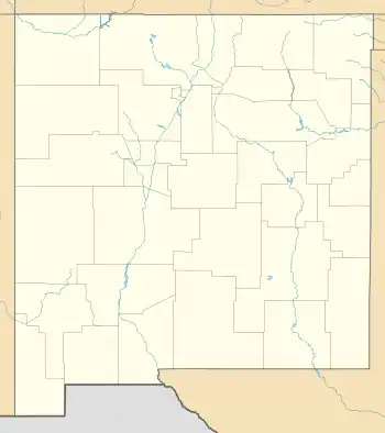
 Valmora Location within the state of New Mexico  Valmora Valmora (the United States) | |
| Coordinates: 35°48′59″N 104°55′23″W / 35.81639°N 104.92306°W | |
| Country | United States |
| State | New Mexico |
| County | Mora |
| Elevation | 6,358 ft (1,938 m) |
| Time zone | UTC-7 (Mountain (MST)) |
| • Summer (DST) | UTC-6 (MDT) |
| ZIP codes | 87750[1] |
| Area code | 575 |
| GNIS feature ID | 899980[2] |
Valmora is a former unincorporated community located in Mora County, New Mexico, United States, located along New Mexico State Road 97, 3.75 miles (6.04 km) east-northeast of Watrous. State Road 446, the shortest state road in New Mexico at .25 miles (0.40 km), links the community to State Road 97.[3]
Since 2017, it has been the site of a privately owned holistic retreat center.
History
The name "Valmora" is a manufactured word, meaning "in the valley of the Mora river."[4] It was founded in 1916 as a community serving a tuberculosis sanitarium, long since closed.[5] Because of this, however, in 1995 Valmora was added to the registry of National Historic Places.
References
- ↑ United States Postal Service. "USPS - Look Up a ZIP Code". Retrieved November 30, 2014.
- ↑ "Valmora". Geographic Names Information System. United States Geological Survey, United States Department of the Interior.
- ↑ "State Routes" (PDF). New Mexico Department of Transportation. Retrieved November 26, 2010.
- ↑ Julyan, Robert (1998). "Introduction". The Place Names of New Mexico (Revised ed.). University of New Mexico Press. p. x. ISBN 978-08263-1689-9.
- ↑ Julyan, Robert (1996). The Place Names of New Mexico. University of New Mexico Press. p. 370. ISBN 0826316891.
This article is issued from Wikipedia. The text is licensed under Creative Commons - Attribution - Sharealike. Additional terms may apply for the media files.
