| Ugley Green | |
|---|---|
 Ugley Green | |
 Ugley Green Location within Essex | |
| OS grid reference | TL524271 |
| • London | 30 mi (48 km) S |
| Civil parish | |
| District | |
| Shire county | |
| Region | |
| Country | England |
| Sovereign state | United Kingdom |
| Post town | BISHOP'S STORTFORD |
| Postcode district | CM22 |
| Dialling code | 01279 |
| Police | Essex |
| Fire | Essex |
| Ambulance | East of England |
| UK Parliament | |
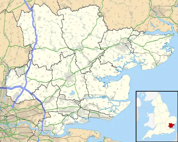
Ugley Green is a small village in the district of Uttlesford in Essex, England. It is approximately 6 miles (10 km) north-east from Bishops Stortford, and just to the west of the M11 motorway. The village is within the civil parish of Ugley, a smaller settlement 1.5 miles (2.4 km) to the north.

The village contains two Grade II listed 19th-century houses,[1] and a post-medieval house.[2]
The village hall was built in 1920. Occupations in 1933 included four farmers, a carpenter, a stationer & sub-postmaster, a blacksmith, a gravel merchant, a beer retailer, a shopkeeper, a steward to Wades Hall, and the licensee of the White Hart public house.[3] Wades Hall is the remaining wing of a larger house dating to the 16th century, Grade II listed, and approximately 1 mile (1.6 km) northwest from the village.[4]
See also
References
- ↑ Historic England. "1 and 2, Ugley Green, Ugley (1274356)". National Heritage List for England. Retrieved 9 July 2014.
- ↑ Historic England. "The Cottage (545855)". Research records (formerly PastScape). Retrieved 9 July 2014.
- ↑ Kelly's Directory of Essex 1933, p.526
- ↑ Historic England. "Wades Hall (1221628)". National Heritage List for England. Retrieved 21 July 2018.