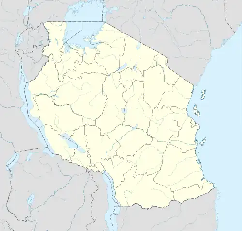
.jpg.webp) Tumbatu Island location | |
 Tumbatu Island | |
| Geography | |
|---|---|
| Location | Indian Ocean |
| Coordinates | 5°49′07″S 39°13′23″E / 5.81861°S 39.2231°E |
| Total islands | 3 |
| Major islands | 1 |
| Length | 8 km (5 mi) |
| Width | 2 km (1.2 mi) |
| Highest elevation | 12 m (39 ft) |
| Administration | |
| Region | Unguja North Region |
| Demographics | |
| Ethnic groups | Hadimu and Swahili |
Tumabatu Island is an island located in Kaskazini A District of Lindi Region in Tanzania's Indian Ocean coast. In Tanzania, East Africa's Zanzibar Archipelago, Tumbatu is the third-largest island. The wedge-shaped Tumbatu island is only 2 kilometers (1.2 miles) wide and 8 kilometers (5.0 miles) long (the widest part is in the southern end). Unguja is a little bit isolated from the rest of Zanzibar despite having a southern side that is only 2 km (1.2 miles) long and surrounded by a reef from Mkokotoni on the island. Tumbati has two islets, Popo Island to the east and Mwana wa Mwana Island to the north.[1] The island has an average elevation of 12 m (39 ft).[2] The Island is the native home of a sub cultural group of the Hadimu known as Tumbatu.[3]