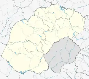
Tseki
Mtsekana | |
|---|---|
 Tseki  Tseki | |
| Coordinates: 28°34′52″S 28°46′26″E / 28.581°S 28.774°E | |
| Country | South Africa |
| Province | Free State |
| District | Thabo Mofutsanyane |
| Municipality | Maluti-a-Phofung |
| • Councillor | (ANC) |
| Area | |
| • Total | 3.56 km2 (1.37 sq mi) |
| Population (2011)[1] | |
| • Total | 7,888 |
| • Density | 2,200/km2 (5,700/sq mi) |
| Racial makeup (2011) | |
| • Black African | 99.8% |
| • Coloured | 0.1% |
| First languages (2011) | |
| • Sotho | 94.2% |
| • Zulu | 2.0% |
| • Sign language | 1.4% |
| • Afrikaans | 1.1% |
| • Other | 1.3% |
| Time zone | UTC+2 (SAST) |
| Postal code (street) | 9874 |
| Area code | 058 |
Tseki is a town in Thabo Mofutsanyane District Municipality in the Free State province of South Africa. It is one of the oldest kasis in Qwaqwa (Phuthaditjhaba). Together with Thaba Bosiu, Bolata, Makwane, Puelong and Thaba Ntsho they were the first places where people settled when Qwaqwa was first formed by the apartheid government.
References
- 1 2 3 4 "Main Place Tseki". Census 2011.
This article is issued from Wikipedia. The text is licensed under Creative Commons - Attribution - Sharealike. Additional terms may apply for the media files.
.svg.png.webp)