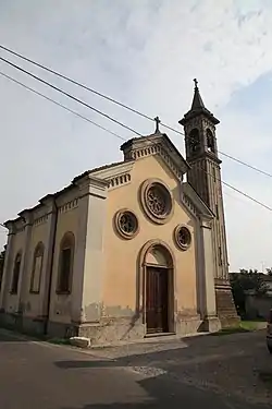
Torrevecchia Pia | |
|---|---|
| Comune di Torrevecchia Pia | |
 | |
 Coat of arms | |
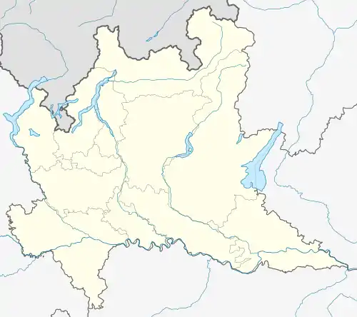
Location of Torrevecchia Pia | |
 Torrevecchia Pia Location of Torrevecchia Pia in Italy  Torrevecchia Pia Torrevecchia Pia (Lombardy) | |
| Coordinates: 45°17′N 9°18′E / 45.283°N 9.300°E | |
| Country | Italy |
| Region | Lombardy |
| Province | Pavia (PV) |
| Government | |
| • Mayor | Gerardo Manfredi |
| Area | |
| • Total | 16.3 km2 (6.3 sq mi) |
| Elevation | 84 m (276 ft) |
| Population | |
| • Total | 3,409 |
| • Density | 210/km2 (540/sq mi) |
| Demonym | Torrevecchini |
| Time zone | UTC+1 (CET) |
| • Summer (DST) | UTC+2 (CEST) |
| Postal code | 27010 |
| Dialing code | 0382 |
| Website | Official website |
Torrevecchia Pia is a comune (municipality) in the Province of Pavia in the Italian region Lombardy, located about 25 km southeast of Milan and about 15 km northeast of Pavia.
Torrevecchia Pia borders the following municipalities: Bascapè, Landriano, Marzano, Valera Fratta and Vidigulfo.
History
Torre Vecchia, as the community was known since the 11th century, was initially part of the feud of Bascapè, belonging to the homonymous family, then passing in the 16th century to the fief of Landriano, belonging to the Taverna. In the eighteenth century it was no longer in a fiefdom. Since the thirteenth century, if not earlier, it belonged to the Milan area, and precisely to the civil parish church of San Giuliano. In 1786 it was included in the province of Pavia. In 1863 it took the name of Torrevecchia Pia. In 1872, following Italian unification, the municipalities of Vigonzone and Zibido al Lambro were aggregated to Torrevecchia Pia.
References
- ↑ "Superficie di Comuni Province e Regioni italiane al 9 ottobre 2011". Italian National Institute of Statistics. Retrieved 16 March 2019.
- ↑ All demographics and other statistics: Italian statistical institute Istat.
- ↑ "Popolazione Residente al 1° Gennaio 2018". Italian National Institute of Statistics. Retrieved 16 March 2019.