Tonosí Airport | |||||||||||
|---|---|---|---|---|---|---|---|---|---|---|---|
| Summary | |||||||||||
| Airport type | Public | ||||||||||
| Serves | Tonosí, Panama | ||||||||||
| Elevation AMSL | 55 ft / 17 m | ||||||||||
| Coordinates | 7°24′55″N 80°26′48″W / 7.41528°N 80.44667°W | ||||||||||
| Map | |||||||||||
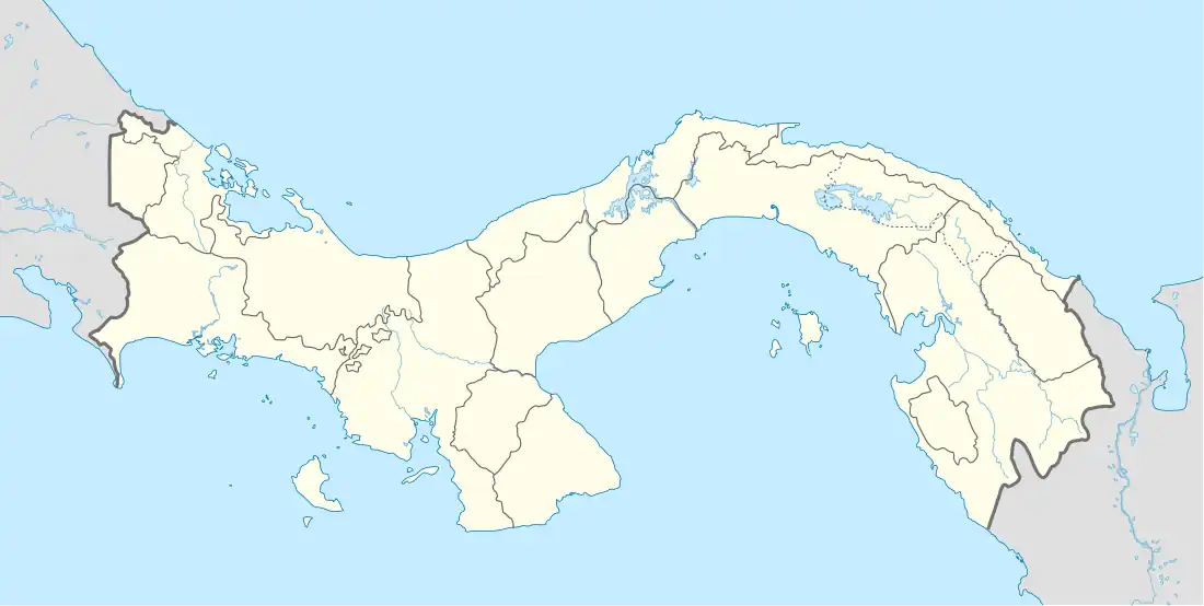
 Tonosí Location of the airport in Panama | |||||||||||
| Runways | |||||||||||
| |||||||||||
Tonosí Airport is an airport serving Tonosí, a village in the Los Santos Province of Panama.
The airport is 1 kilometre (0.6 mi) northwest of the village. The runway has 80 metres (260 ft) of unpaved overrun on the north end.
There is high terrain 5 kilometres (3 mi) southwest of the airport.
See also
References
- ↑ "Tonosí Airport". Our Airports. Retrieved 14 June 2018.
- ↑ "Tonosí Airport". Bing Maps. Microsoft. Retrieved 14 June 2018.
External links
This article is issued from Wikipedia. The text is licensed under Creative Commons - Attribution - Sharealike. Additional terms may apply for the media files.