Thandla
Thandla | |
|---|---|
Municipal Town | |
| Nickname: Thandla | |
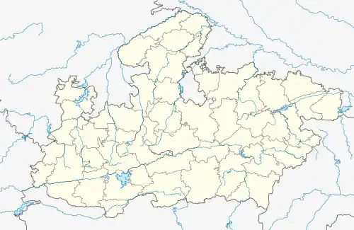
 Thandla Location in Madhya Pradesh, India  Thandla Thandla (India) | |
| Coordinates: 23°00′N 74°34′E / 23.0°N 74.57°E | |
| Country | |
| State | Madhya Pradesh |
| District | Jhabua |
| Government | |
| • Type | Municipal Council |
| • Body | Thandla Municipality |
| Elevation | 271 m (889 ft) |
| Population (2001) | |
| • Total | 25,000 |
| Languages | |
| • Official | Hindi |
| Time zone | UTC+5:30 (IST) |
| PIN | 457777 |
| ISO 3166 code | IN-MP |
| Vehicle registration | MP |
Thandla is a town in Thandla Tehsil in Jhabua District of Madhya Pradesh, India. It belongs to Indore Division. It is located 30 km north of the District headquarters of Jhabua. It is a Tehsil headquarter. Thandla was named after Bhil Sardar Thana.[1][2]
Geography
Thandla is located at 23°00′N 74°34′E / 23.0°N 74.57°E.[3] It has an average elevation of 271 metres (889 feet). Jhabua, Dahod, Rajgarh, Banswara are nearby cities.
Demographics
At the 2001 India census,[4] Thandla had a population of 12,685. Males constituted 52% of the population and females 48%. Thandla had an average literacy rate of 73%, higher than the national average of 59.5%: male literacy was 80%, and female literacy 66%. 14% of the population were under 6 years of age.
Educational organizations
There are number of educational institutions in Thandla, such as Government College, Thandla, and a Government Boys and Government Girls schools.
Transport
The nearest airport is indore.
References
- ↑ Das, S. K. (29 November 2020). Watershed Development and Livelihoods: People's Action in India. Taylor & Francis. ISBN 978-1-000-08401-6.
- ↑ Das, S. K. (29 November 2020). Watershed Development and Livelihoods: People's Action in India. Taylor & Francis. ISBN 978-1-000-08401-6.
- ↑ Falling Rain Genomics, Inc - Thandla
- ↑ "Census of India 2001: Data from the 2001 Census, including cities, villages and towns (Provisional)". Census Commission of India. Archived from the original on 16 June 2004. Retrieved 1 November 2008.