Tayakadın | |
|---|---|
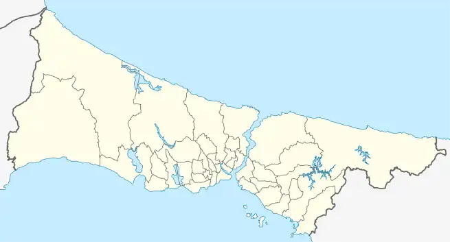
 Tayakadın Location in Turkey  Tayakadın Tayakadın (Istanbul) | |
| Coordinates: 41°16′13″N 28°41′24″E / 41.2703°N 28.69006°E | |
| Country | Turkey |
| Province | Istanbul |
| District | Arnavutköy |
| Population (2022) | 2,951 |
| Time zone | TRT (UTC+3) |
| Postal code | 34277 |
| Area code | 0212 |
Tayakadın is a neighbourhood in the municipality and district of Arnavutköy, Istanbul Province, Turkey.[1] Its population is 2,951 (2022).[2] It was located in Çatalca until 1972, after which it was reassigned to Gaziosmanpaşa in 1972 before being transferred to Arnavutköy in 2008.[3]
Geography
Tayakadın is at the junction of Arnavutköy-Göktürk-Çatalca roads. It located is 12 km (7.5 mi) from Arnavutköy, 20 km (12 mi) from Göktürk and 12 km (7.5 mi) from Karaburun. It is very close to Istanbul Airport.[4]
References
- ↑ Mahalle, Turkey Civil Administration Departments Inventory. Retrieved 12 July 2023.
- ↑ "Address-based population registration system (ADNKS) results dated 31 December 2022, Favorite Reports" (XLS). TÜİK. Retrieved 12 July 2023.
- ↑ Kanun No. 5747, Resmî Gazete, 22 March 2008.
- ↑ "Bakan Yıldırım 3. havalimanının tam yerini açıkladı". Star. 19 November 2012. Retrieved 26 July 2023.
This article is issued from Wikipedia. The text is licensed under Creative Commons - Attribution - Sharealike. Additional terms may apply for the media files.