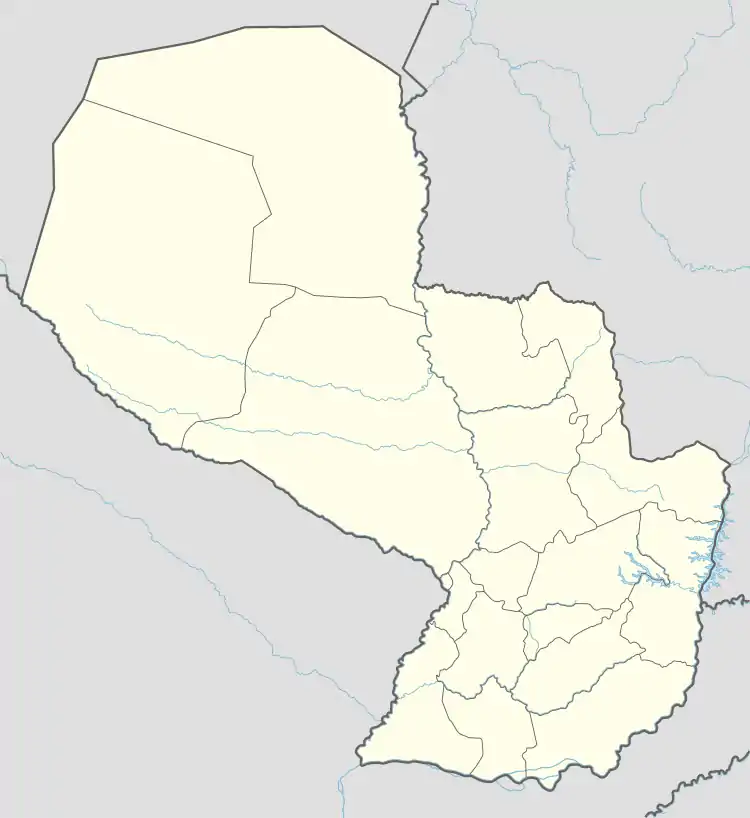
Tavapy | |
|---|---|
District | |
 Tavapy | |
| Coordinates: 25°39′45″S 54°59′35″W / 25.66250°S 54.99306°W | |
| Country | Paraguay |
| Department | Alto Paraná |
| Foundation | May 26, 2011 |
| Government | |
| • Intendente municipal | Aníbal Fidabel Romero |
| Area | |
| • Total | 436 km2 (168 sq mi) |
| Elevation | 264 m (866 ft) |
| Population (2017)[1] | |
| • Total | 8,287 |
| Time zone | -4 Gmt |
| Postal code | 7530 |
| Area code | (595) (678) |
| Climate | Cfa |
Tavapy is a district located in the Alto Paraná Department of Paraguay. It was previously part of Santa Rosa del Monday and it was created as a district on May 26, 2011.[2]
References
- ↑ DGEEC. "Proyección de la población por sexo y edad, según distrito. Revisión 2015" (PDF). pp. 32–37. Archived from the original (PDF) on 16 October 2015. Retrieved 11 October 2015.
- ↑ Diario Digital Vanguardia (1 June 2011). Sergio Rubinich (ed.). "Tavapy se convierte en distrito número 21 del Alto Paraná". Retrieved 14 July 2011.
This article is issued from Wikipedia. The text is licensed under Creative Commons - Attribution - Sharealike. Additional terms may apply for the media files.
