Tanjung Harapan Airport | |||||||||||
|---|---|---|---|---|---|---|---|---|---|---|---|
 | |||||||||||
| Summary | |||||||||||
| Airport type | Public | ||||||||||
| Owner | Directorate General of Civil Aviation | ||||||||||
| Location | Tanjung Selor, North Kalimantan, Indonesia timezone = WITA | ||||||||||
| Time zone | {{{timezone}}} (UTC+08:00) | ||||||||||
| Elevation AMSL | 10 ft / 3 m | ||||||||||
| Coordinates | 02°50′11″N 117°22′25″E / 2.83639°N 117.37361°E | ||||||||||
| Map | |||||||||||
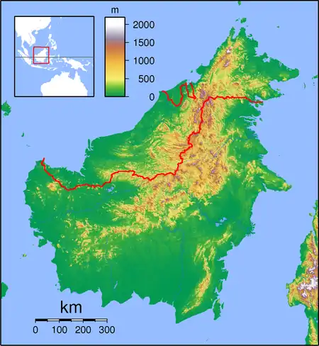
 TJS Location of airport in Indonesia | |||||||||||
| Runways | |||||||||||
| |||||||||||
Tanjung Harapan Airport (IATA: TJS, ICAO: WAGD)[1] is an airport in Tanjung Selor, North Kalimantan, Indonesia. It is located on the island of Kalimantan, also known as Borneo.
Airlines and destinations
The following airlines offer scheduled passenger service:
| Airlines | Destinations |
|---|---|
| Susi Air | Long Apung, Samarinda, Tarakan |
| Wings Air | Balikpapan[2] |
Runway extension
In 2015, the current 1,200 meters runway has been extended to 1,600 meters to accommodate ATR-72 from current ATR-42, so passengers from Tanjung Harapan Airport can fly directly to Balikpapan and without having to transit in Tarakan anymore. It was decided to use 2015 North Kalimantan Province budget with amount Rp 10 billion ($0.8 million) to extend runway 350 meters towards the hill (direction TH 21) and 50 meters towards the Selor River (direction TH 03). The hill was cut and the road at the hill relocated.[3]