Tanigami 谷上 | |||||||||||
|---|---|---|---|---|---|---|---|---|---|---|---|
 Platforms 4 and 5, October 2023 | |||||||||||
| General information | |||||||||||
| Location | Kita-Ku, Kobe, Hyōgo Prefecture Japan | ||||||||||
| Operated by | |||||||||||
| Line(s) | |||||||||||
| Platforms | 3 island platforms | ||||||||||
| Tracks | 5 | ||||||||||
| Other information | |||||||||||
| Station code | KB10 (Kobe Electric Railway) S01 (Kobe Municipal Subway) | ||||||||||
| History | |||||||||||
| Opened | 28 November 1928 | ||||||||||
| Rebuilt | 1988 | ||||||||||
| Services | |||||||||||
| |||||||||||
| Location | |||||||||||
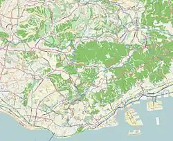
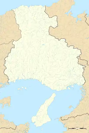
 Tanigami Location within Kobe  Tanigami Tanigami (Hyōgo Prefecture)  Tanigami Tanigami (Japan) | |||||||||||
Tanigami Station (谷上駅, Tanigami-eki) is a railway station in northern Kobe, Japan, serving the Shintetsu Arima Line and the Kobe Municipal Subway Hokushin Line.
Layout
Tanigami Station consists of five tracks and three island platforms.
Platforms
| 1, 2 | ■ Shintetsu Arima Line | for Arima-Onsen, Sanda and Woody Town Chūō (every early morning and in the morning and the evening of weekdays) |
| 3 | ■ Shintetsu Arima Line | for Arima-Onsen, Sanda and Woody Town Chūō for Suzurandai, Shinkaichi, Ao, Ono and Miki |
| 4 | ■ Kobe Municipal Subway Hokushin Line | for Shin-Kobe, Sannomiya, Myōdani, Gakuen-Toshi and Seishin-Chūō |
| 5 | ■ Kobe Municipal Subway Hokushin Line | for Shin-Kobe, Sannomiya, Myōdani, Gakuen-Toshi and Seishin-Chūō (same track as No. 4) |
| 6 | ■ Kobe Municipal Subway Hokushin Line | for Shin-Kobe, Sannomiya, Myōdani, Gakuen-Toshi and Seishin-Chūō (partly) |
Adjacent stations
Kobe Electric Railway
- Arima Line
- Special Rapid Express (特快速, Toku-kaisoku, running only for Shinkaichi)
- Yamanomachi (KB08) ← Tanigami (KB10) ← Okaba (KB22)
- Express (急行, Kyūkō)
- Yamanomachi (KB08) - Tanigami (KB10) - Ōike (KB12)
- Local (普通, futsū) / Semi-express (準急, Junkyū)
- Special Rapid Express (特快速, Toku-kaisoku, running only for Shinkaichi)
External links
- (in Japanese) Kobe Electric Railway
- (in Japanese) Kobe Municipal Subway
34°45′42″N 135°10′17″E / 34.761693°N 135.17149°E
This article is issued from Wikipedia. The text is licensed under Creative Commons - Attribution - Sharealike. Additional terms may apply for the media files.