Talakivka
Талаківка | |
|---|---|
 | |
 Flag  Coat of arms | |
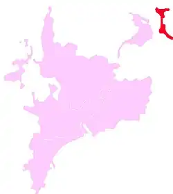
 Talakovka is marked with dark red | |
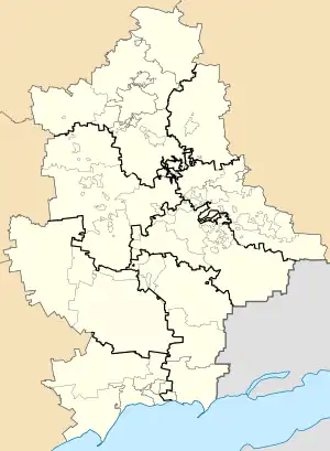
 Talakivka Location of Talakivka within Ukraine  Talakivka Talakivka (Donetsk Oblast) | |
| Coordinates: 47°11′7″N 37°43′19″E / 47.18528°N 37.72194°E | |
| Country | |
| Oblast | |
| Raion | Mariupol Raion |
| Hromada | Sartana settlement hromada |
| Founded | 1889 |
| Area | |
| • Total | 2.39 km2 (0.92 sq mi) |
| Elevation | 6 m (20 ft) |
| Population (2022) | |
| • Total | 3,832 |
| • Density | 1,600/km2 (4,200/sq mi) |
| Time zone | UTC+2 (EET) |
| • Summer (DST) | UTC+3 (EEST) |
| Postal code | 87594-87595 |
| Area code | +380 629 |
Talakivka (Ukrainian: Талаківка; Russian: Талаковка) is an urban-type settlement in Mariupol Raion, Donetsk Oblast, eastern Ukraine. It is located 89.4 kilometres (55.6 mi) south-southwest from the centre of Donetsk city, at a distance of 19 kilometres (12 mi) north from the centre of Mariupol, on the right bank of the Kalmius River. Population: 3,832 (2022 estimate).[1]
Demographics
In 2001 the settlement had a population of 4160. Native language as of the Ukrainian Census of 2001:[2]
- Ukrainian 10.31%
- Russian 89.47%
- Greek 0.10%
- Belarusian 0.07%
Dynamics of population has been as follows:[3]
| Year | Population |
|---|---|
| 1897 | 652 |
| 1959 | 2886 |
| 1970 | 3574 |
| 1979 | 4502 |
| 1987 | 4600 |
| 1988 | 4600 |
| 1989 | 3848 |
| 1992 | 3900 |
| 1998 | 3800 |
| 2001 | 4160 |
| 2004 | 4100 |
| 2009 | 4160 |
| 2010 | 4155 |
| 2011 | 4129 |
| 2012 | 4137 |
| 2013 | 4130 |
| 2014 | 4133 |
| 2015 | 4113 |
References
- ↑ Чисельність наявного населення України на 1 січня 2022 [Number of Present Population of Ukraine, as of January 1, 2022] (PDF) (in Ukrainian and English). Kyiv: State Statistics Service of Ukraine. Archived (PDF) from the original on 4 July 2022.
- ↑ Розподіл населення за рідною мовою на ukrcensus.gov.ua
- ↑ Населення міст та смт України
This article is issued from Wikipedia. The text is licensed under Creative Commons - Attribution - Sharealike. Additional terms may apply for the media files.