Taebukpo Ri Airport | |||||||||||
|---|---|---|---|---|---|---|---|---|---|---|---|
| Summary | |||||||||||
| Airport type | Military | ||||||||||
| Serves | Tosan, North Korea | ||||||||||
| Elevation AMSL | 223 ft / 68 m | ||||||||||
| Coordinates | 38°19′59.30″N 126°52′17″E / 38.3331389°N 126.87139°E | ||||||||||
| Map | |||||||||||
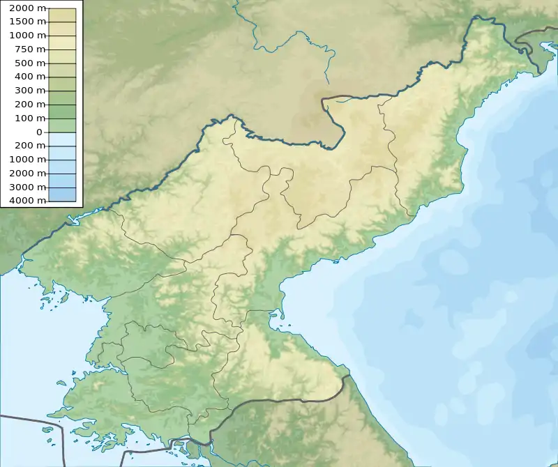
 Taepukpori Location of airport in North Korea | |||||||||||
| Runways | |||||||||||
| |||||||||||
| Taebukpo Ri Airport | |
| Chosŏn'gŭl | 대북포리비행장 |
|---|---|
| Hancha | |
| Revised Romanization | Daebukpo-ri bihaengjang |
| McCune–Reischauer | Taebukp'o-ri pihaengjang |
Taebukpo Ri Airport is an airport in Pukp'o-ri, Tosan County, Hwanghae-bukto, North Korea.
Facilities
The airfield has a single grass runway 10/28 measuring 6620 × 282 feet (2018 × 86 m).[1] It is sited in a river plain.[2]
References
- ↑ Landings database page Archived 2012-03-09 at the Wayback Machine "Landings.Com", accessed 25 Aug 2010
- ↑ GlobalSecurity.org "Air Bases - North Korea", accessed 25 Aug 2010
This article is issued from Wikipedia. The text is licensed under Creative Commons - Attribution - Sharealike. Additional terms may apply for the media files.