Tân Hòa | |
|---|---|
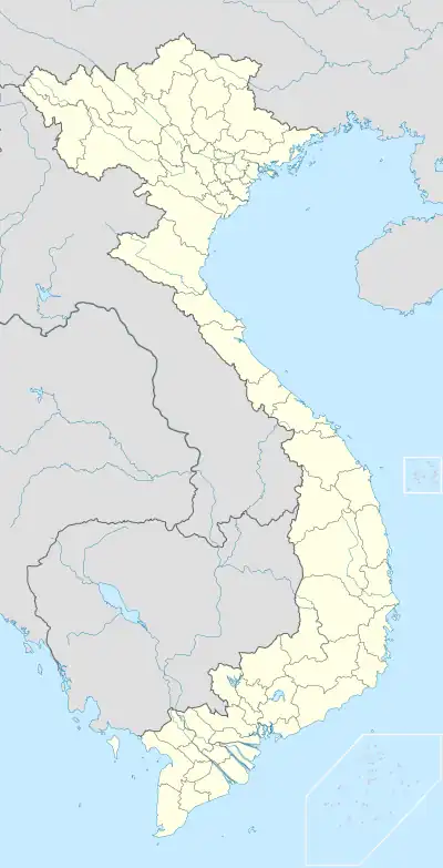
 Tân Hòa Location in Vietnam | |
| Coordinates: 10°58′16″N 106°54′31″E / 10.97111°N 106.90861°E | |
| Country | |
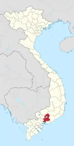
| Province | Đồng Nai |
| provincial city | Biên Hòa |
| Area | |
| • Total | 1.5 sq mi (3.9 km2) |
| Population (2017) | |
| • Total | 39,982 |
| Time zone | UTC+7 (UTC+7) |
Tân Hòa is a ward located in Biên Hòa city of Đồng Nai province, Vietnam.[1] It has an area of about 3.9km2 and the population in 2017 was 39,982.[2]
References
- ↑ "Hệ thống bản đồ hành chính Việt Nam (Administrative map system)". Cổng thông tin điện tử Chính phủ (Vietnamese government web portal).
- ↑ "Thông tin chung Phường Tân Hòa (General information about Tân Hòa Ward)". UBND Thành phố Biên Hòa (Biên Hòa official website).
This article is issued from Wikipedia. The text is licensed under Creative Commons - Attribution - Sharealike. Additional terms may apply for the media files.
