Sulphur, Nevada | |
|---|---|
 Sulphur  Sulphur | |
| Coordinates: 40°52′29″N 118°44′12″W / 40.87472°N 118.73667°W[1] | |
| Country | United States |
| State | Nevada |
| County | Humboldt |
| Named for | Humboldt National Forest |
| Elevation | 6,102 ft (1,860 m) |
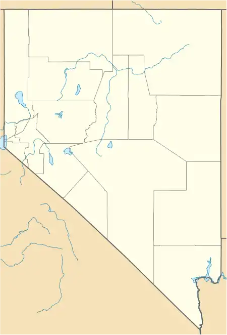
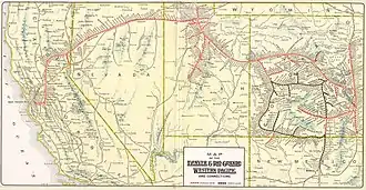
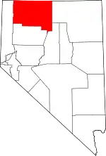
Sulphur, Nevada, is a ghost town in Humboldt County, Nevada[1] that was a Feather River Route station in the Black Rock Desert along the Kamma Mountains.
History
A post office was in operation at Sulphur intermittently between 1899 and 1953.[2] The community was named for deposits of sulphur near the original town site.[3]
References
- 1 2 3 U.S. Geological Survey Geographic Names Information System: Sulphur
- ↑ U.S. Geological Survey Geographic Names Information System: Sulphur Post Office (historical)
- ↑ Federal Writers' Project (1941). Origin of Place Names: Nevada (PDF). W.P.A. p. 39.
This article is issued from Wikipedia. The text is licensed under Creative Commons - Attribution - Sharealike. Additional terms may apply for the media files.

