 | |
|---|---|
| Strada statale 72 | |
| di San Marino | |
 | |
| Route information | |
| Maintained by ANAS | |
| Length | 10.654 km[1] (6.620 mi) |
| Existed | 1928–present |
| Major junctions | |
| From | Rimini |
| To | State border near Cerasolo Ausa |
| Location | |
| Country | Italy |
| Regions | Emilia-Romagna |
| Highway system | |
| |
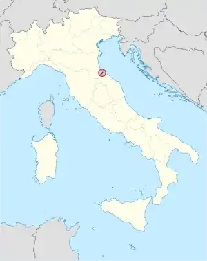
Strada statale 72 di San Marino (SS 72) is a motorway that connects the province of Rimini and connects the provincial capital with the Republic of San Marino. The current road, built after the World War II, is 10,600 km long and has a typically flat layout. It consists of two lanes in each direction of travel and replaces the old state road 72. The road begins on the outskirts of Rimini and ends at the Dogana state border. In San Marino, it continues as the San Marino Highway.
History
Strada statale 72 was established in 1928 with the following route: "Rimini - San Marino border."[2]
References
This article is issued from Wikipedia. The text is licensed under Creative Commons - Attribution - Sharealike. Additional terms may apply for the media files.