Stobno | |
|---|---|
Village | |
 Wayside shrine in Stobno | |
 Stobno  Stobno | |
| Coordinates: 53°38′47″N 17°48′46″E / 53.64639°N 17.81278°E | |
| Country | |
| Voivodeship | Kuyavian-Pomeranian |
| County | Tuchola |
| Gmina | Tuchola |
| Time zone | UTC+1 (CET) |
| • Summer (DST) | UTC+2 (CEST) |
| Vehicle registration | CTU |
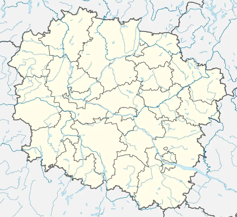
Stobno [ˈstɔbnɔ] is a village in the administrative district of Gmina Tuchola, within Tuchola County, Kuyavian-Pomeranian Voivodeship, in north-central Poland.[1] It lies approximately 6 kilometres (4 mi) north-west of Tuchola and 61 km (38 mi) north of Bydgoszcz. It is located to the southwest of Lake Stobno, within the historic region of Pomerania.
History
Stobno was a royal village of the Polish Crown, administratively located in the Tuchola County in the Pomeranian Voivodeship.[2]
During the German occupation of Poland (World War II), the Germans murdered several Polish inhabitants of Stobno during large massacres of Poles carried out in nearby Rudzki Most in 1939.[3] In 1942, the occupiers carried out expulsions of Poles, who then were imprisoned in the Potulice concentration camp, and afterwards some were deported to forced labour in Germany, while their farms were handed over to German colonists as part of the Lebensraum policy.[4]
References
- ↑ "Central Statistical Office (GUS) – TERYT (National Register of Territorial Land Apportionment Journal)" (in Polish). 2008-06-01.
- ↑ Biskup, Marian; Tomczak, Andrzej (1955). Mapy województwa pomorskiego w drugiej połowie XVI w. (in Polish). Toruń. p. 124.
{{cite book}}: CS1 maint: location missing publisher (link) - ↑ Wardzyńska, Maria (2009). Był rok 1939. Operacja niemieckiej policji bezpieczeństwa w Polsce. Intelligenzaktion (in Polish). Warsaw: IPN. pp. 170–171.
- ↑ Wardzyńska, Maria (2017). Wysiedlenia ludności polskiej z okupowanych ziem polskich włączonych do III Rzeszy w latach 1939-1945 (in Polish). Warsaw: IPN. p. 122. ISBN 978-83-8098-174-4.
