Stensved | |
|---|---|
Town | |
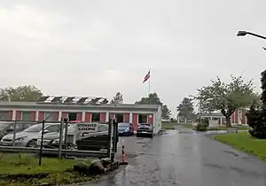
 The former Stensved barracks, now parish hall | |
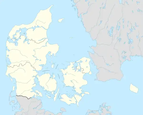
 Stensved Location in Denmark .svg.png.webp) Stensved Stensved (Denmark Region Zealand) | |
| Coordinates: 54°59′43″N 12°01′28″E / 54.99538°N 12.02445°E | |
| Country | Denmark |
| Region | Region Sjælland |
| Municipality | Vordingborg |
| Area | |
| • Urban | 1 km2 (0.4 sq mi) |
| Population (2023)[1] | |
| • Urban | 1,591 |
| • Urban density | 1,600/km2 (4,100/sq mi) |
| Time zone | UTC+1 (CET) |
| • Summer (DST) | UTC+2 (CEST) |
| Postal Code | DK-4773 Stensved |
Stensved is a town, with a population of 1,591 (1. January 2023),[1] situated on the southern Zealand (Region Sjælland), in Denmark. It is a satellite town to Vordingborg. The town is a part of Vordingborg Municipality. The area what is now Stensved was inhabited already in the Iron Age, which stretched from 500 BC to 500 AD in Denmark.
Community
Kulsbjerg Skole, is a middleschool located in Stensved, which is named after the peak "Kulsbjerg", situated 5 km northeast from Stensved. Kulsbjerg is the highest point of the southern Zealand, reaching up 107m.
Stores
Even though Stensved is a small town, a lot of stores are able to survive in the small community. There are both a Netto and a Rema 1000 in Stensved. There are 2 pizzerias, Siesta & Stensved Pizza and Grill. There are two barbers, Salon Engelhardt & Frisør Stuen. There is butcher and several autoshops as well.
References
- 1 2 BY3: Population 1. January by urban areas The Mobile Statbank from Statistics Denmark