Spring Lake Bridge | |
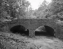
 HAER photo, 1988 | |
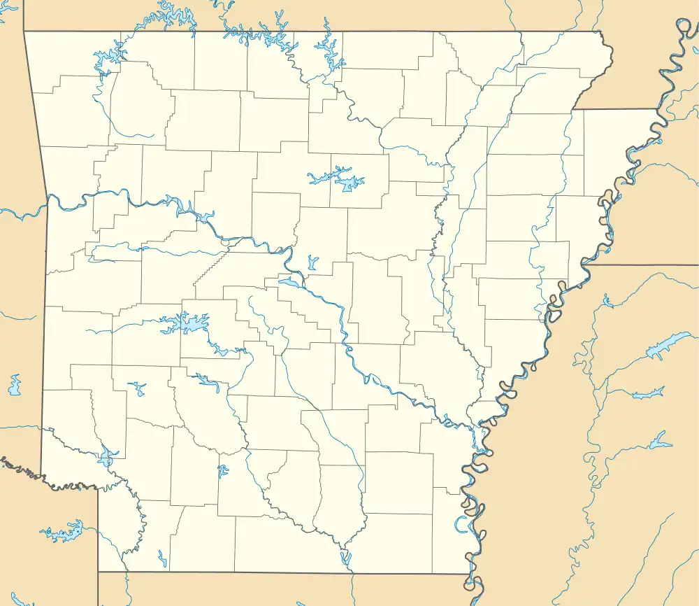
 Location in Arkansas  Location in United States | |
| Nearest city | Belleville, Arkansas |
|---|---|
| Coordinates | 35°9′4″N 93°25′54″W / 35.15111°N 93.43167°W |
| Area | less than one acre |
| Built | 1936 |
| Built by | Resettlement Administration |
| Architectural style | Closed spandrel arch |
| Part of | Spring Lake Recreation Area Historic District (ID94001613) |
| MPS | Historic Bridges of Arkansas MPS |
| NRHP reference No. | 90000510[1] |
| Significant dates | |
| Added to NRHP | June 21, 1990 |
| Designated CP | September 11, 1995 |
The Spring Lake Bridge is a historic bridge in the eastern part of Ozark-St. Francis National Forest, carrying County Road 35 across an inlet of Spring Lake known as Bob Barnes Branch, in the Spring Lake Recreation Area with the Ozark–St. Francis National Forest. It is a two-span closed-spandrel stone arch bridge with a total length of 36 feet (11 m). Each arch is 10 feet (3.0 m) long and 6 feet (1.8 m) high. Built in 1936 with federal funding, it is one of the state's finest examples of a stone arch bridge.[2]
The bridge was listed on the National Register of Historic Places in 1990.[1]
See also
References
- 1 2 "National Register Information System". National Register of Historic Places. National Park Service. July 9, 2010.
- ↑ "NRHP nomination for Spring Lake Bridge". Arkansas Preservation. Retrieved 2016-05-01.
External links
Wikimedia Commons has media related to Spring Lake Bridge.
- Historic American Engineering Record (HAER) No. AR-36, "Spring Lake Bridge, Spanning Bob Barnes Branch at County Road No. 36D, Belleville, Yell County, AR", 7 photos, 2 data pages, 1 photo caption page
This article is issued from Wikipedia. The text is licensed under Creative Commons - Attribution - Sharealike. Additional terms may apply for the media files.