| South Cape Beach State Park | |
|---|---|
 South Cape Beach State Park | |
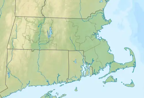
 Location in Massachusetts Show map of Massachusetts South Cape Beach State Park (the United States) Show map of the United States | |
| Location | Mashpee, Barnstable, Massachusetts, United States |
| Coordinates | 41°33′30.37″N 70°30′8.64″W / 41.5584361°N 70.5024000°W / 41.5584361; -70.5024000 |
| Area | 460 acres (190 ha)[1] |
| Established | Unspecified |
| Governing body | Massachusetts Department of Conservation and Recreation |
| Website | South Cape Beach State Park |
South Cape Beach State Park is a Massachusetts state park located in the town of Mashpee. It is part of the Waquoit Bay National Estuarine Research Reserve. The park is situated between Waquoit Bay and Vineyard Sound and features barrier beach and dunes, salt marsh, scrub oak and pitch pine woodland and kettle ponds and is managed by the Department of Conservation and Recreation.[2]
Activities and amenities
- Swimming: The park has a 1-mile (1.6 km) white sand beach that is handicap-accessible with handicap-accessible restrooms.
- Trails: Facilities for hiking and walking include over-the-dune boardwalks and scenic viewing areas.
- In addition to motorized and non-motorized boating, the park also offers fishing, interpretive programs during the summer months, and restricted hunting.
References
- ↑ "2012 Acreage Listing" (PDF). Department of Conservation and Recreation. April 2012. Retrieved January 19, 2014.
- ↑ "South Cape Beach State Park". MassParks. Executive Office of Energy and Environmental Affairs. Retrieved July 15, 2013.
External links
- South Cape Beach State Park Department of Conservation and Recreation
| |||||||||||||||||
| |||||||||||||||||
| |||||||||||||||||
| |||||||||||||||||
| |||||||||||||||||
| |||||||||||||||||
| |||||||||||||||||
| |||||||||||||||||
Boston (capital) | |
| Topics |
|
| Society | |
| Regions |
|
| Counties | |
| Cities |
|
This article is issued from Wikipedia. The text is licensed under Creative Commons - Attribution - Sharealike. Additional terms may apply for the media files.