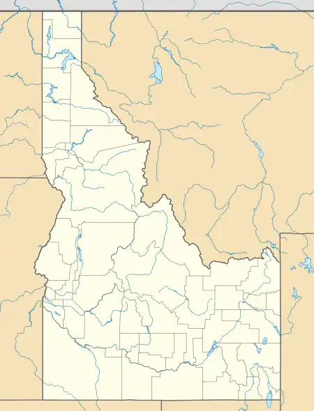
South Boise Historic Mining District | |
 Rocky Bar in 2012 | |
  | |
| Nearest city | Rocky Bar and, Idaho |
|---|---|
| Coordinates | 43°41′31″N 115°15′54″W / 43.69194°N 115.26500°W |
| Area | 8,640 acres (35.0 km2) |
| NRHP reference No. | 75000629[1] |
| Added to NRHP | December 30, 1975 |
The South Boise Historic Mining District, in Elmore County, Idaho and including Rocky Bar, Idaho, is a historic district which was listed on the National Register of Historic Places in 1975. It included eight contributing buildings and a contributing site on 8,640 acres (35.0 km2), or about a ten square mile area.[1]
It is located in the Boise National Forest and the Sawtooth National Forest..
It includes the ghost town of Rocky Bar and a good part of a large basin in which there was a great amount of gold mining.[2] Rocky Bar has a historic cemetery, which among other graves has the grave of Idaho's territorial governor (acting) Clinton DeWitt Smith, whose death in Rocky Bar effectively halted governance of the territory.[2]
It includes Spanishtown, a few miles from Rocky Bar on Elk Creek, with similar utilitarian structures.[2]
It includes the remains of a number of gold mines, some with remains of structures. Mining rose in 1865, then eventually peaked and declined in the 1890s.[2]
References
- 1 2 "National Register Information System". National Register of Historic Places. National Park Service. November 2, 2013.
- 1 2 3 4 Merle Wells (September 17, 1974). "National Register of Historic Places Inventory/Nomination: South Boise Historic Mining District". National Park Service. Retrieved December 27, 2019. With accompanying 11 photos from 1972-75