Native name: | |
|---|---|
 Songo Mnara Main building, Songo Mnara Island | |
 Songo Mnara Island | |
| Geography | |
| Location | Indian Ocean |
| Coordinates | 9°3′54.36″S 39°34′46.2″E / 9.0651000°S 39.579500°E |
| Total islands | 1 |
| Major islands | 1 |
| Highest elevation | 9 m (30 ft) |
| Administration | |
| Region | Lindi Region |
| Demographics | |
| Ethnic groups | Machinga |
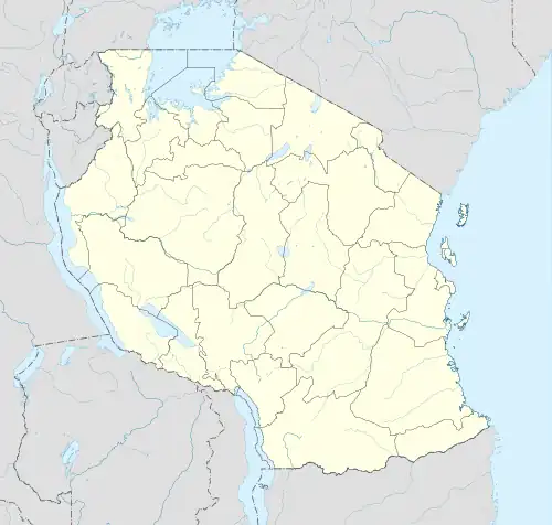
Songo Mnara Island is an island located in Pande Mikoma ward in Kilwa District in Lindi Region of Tanzania's Indian Ocean coast. The island is home to the UNESCO World Heritage Site of Songo Mnara, one of seven world heritage sites in the country. In total, the island covers an area of 8.5 km2 (3.3 sq mi),[1] and has an average elevation of 9 m (30 ft).[2] The Island is the ancestral home of the Machinga people.
References
This article is issued from Wikipedia. The text is licensed under Creative Commons - Attribution - Sharealike. Additional terms may apply for the media files.