| Smoke Lake | |
|---|---|
 Smoke Lake | |
| Location | Tofte Township, Cook County, Minnesota, United States |
| Coordinates | 47°53′16″N 90°51′30″W / 47.8877°N 90.8584°W |
| Basin countries | United States |
| Surface area | 158 acres (64 ha) |
| Average depth | 10.8 ft (3.3 m) |
| Max. depth | 22 ft (6.7 m) |
| Shore length1 | 3.37 mi (5.42 km) |
| Surface elevation | 1,788 ft (545 m) |
| References | [1] |
| 1 Shore length is not a well-defined measure. | |
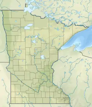
Smoke Lake is a lake in Cook County, Minnesota within Tofte Township. It is within the Boundary Waters Canoe Area Wilderness and the Superior National Forest. The lake can be accessed by a 100 rods (500 m) portage from Sawbill Lake to the west[2] and a 90 rods (450 m) portage from Burnt Lake to the east,[3] which in turn is accessed from Entry Point 39 at Baker Lake through Peterson and Kelly lakes.
Recreation
Recreational activities include camping, fishing, canoeing, and kayaking. There are four campsites on the lakeshore.[4]
Fish species
Fish species in Smoke Lake include northern pike, walleye, white sucker, and yellow perch.[5]
References
- ↑ "Lake Information Report" (PDF). Minnesota Department of Natural Resources. Retrieved 2019-08-16.
- ↑ "Portage between Smoke Lake and Sawbill Lake". www.bwcawild.com. Retrieved 2019-08-16.
- ↑ Portage between Smoke Lake and Burnt Lake
- ↑ "Smoke Lake in the BWCA". www.bwcawild.com. Retrieved 2019-08-16.
- ↑ "Fisheries Lake Surveys - Minnesota DNR". www.dnr.state.mn.us. 1957-09-04. Archived from the original on 2006-03-04. Retrieved 2019-08-17.
This article is issued from Wikipedia. The text is licensed under Creative Commons - Attribution - Sharealike. Additional terms may apply for the media files.