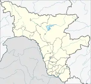
Slava
Слава | |
|---|---|
Selo | |
 Slava  Slava | |
| Coordinates: 52°08′N 129°25′E / 52.133°N 129.417°E[1] | |
| Country | Russia |
| Region | Amur Oblast |
| District | Mazanovsky District |
| Time zone | UTC+9:00 |
Slava (Russian: Слава) is a rural locality (a selo) in Novorossiysky Selsoviet of Mazanovsky District, Amur Oblast, Russia. The population was 1 as of 2018.[2] There is 1 street.
Geography
Slava is located on the left bank of the Orlovka (Mamyn) river, near its confluence with the Selemdzha, 79 km (49 mi) northeast of Novokiyevsky Uval (the district's administrative centre) by road.[3]
References
This article is issued from Wikipedia. The text is licensed under Creative Commons - Attribution - Sharealike. Additional terms may apply for the media files.