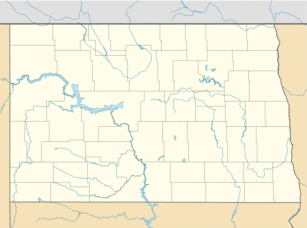
Shields, North Dakota | |
|---|---|
 Post contract station in Shields | |
| Nickname: "The Gateway City to Southern Grant County" | |
 Shields  Shields | |
| Coordinates: 46°14′1″N 101°7′33″W / 46.23361°N 101.12583°W | |
| Country | United States |
| State | North Dakota |
| County | Grant |
| Elevation | 1,808 ft (551 m) |
| Time zone | UTC-6 (Central (CST)) |
| • Summer (DST) | UTC-5 (CDT) |
| ZIP code | 58569 |
| Area code | 701 |
| GNIS feature ID | 1032061 |
Shields is an unincorporated community in Grant County, North Dakota, United States. Founded by Nathaniel J. Shields and his wife Mary and their four children in 1896. Shields' population peaked in 1920 with 250 people. Its elevation is 1,808 feet (551 m) above sea level.[1] It has a post office with the ZIP code 58569.[2]
History
Shields was established September 16, 1896, when Nathaniel J. Shields established a rural post office in his sod home. Shields and his wife Mary had four children, Mark, Arthur, Maude (Browning), and Laura (Martin) who were the first to live in Shields in the 1880s, when the Dakota Territory still existed. Nathaniel Shields built St. James Catholic Church in 1890 and other buildings. The government soon designated Shields as a village in 1891. In 1901, the townsite was relocated two miles south, along the banks of the Cannonball River.[3] The town grew initially, reporting a population of 250 in the 1920s. Shields billed itself as "The Gateway City of Southern Grant County".[3] By 1923, no sod houses existed in Shields; they were replaced by wooden homes. Three of the most famous Native Americans lived near or in Shields at one time, Rain-in-the-Face, Chief Gall, and Sitting Bull. The population declined to just 99 in 1950.[3] In 2002, it was reported that 15 people called Shields home.[4] Likely in the 1990s, the school building was expanded and turned into a Bar and Grill. In 2014, the school was razed, but the Shields Bar[5] still remains in operation, as the only business left. In 2018, the population was estimated to be less than 10.
2002 wildfire
On July 1, 2002, a wildfire destroyed most of Shields, destroying 30 structures and displacing 15 families.[6][7] The wildfire was said to be caused by lightning striking dry pastures.[6] After the fire, the Bismarck Tribune newspaper ran a headline asking "Is this the end of Shields?", and the local sheriff was quoted saying "There is no more Shields." However, one resident interviewed by the paper said the community would survive.[8]
Climate
This climatic region is typified by large seasonal temperature differences, with warm to hot (and often humid) summers and cold (sometimes severely cold) winters. According to the Köppen Climate Classification system, Shields has a humid continental climate, abbreviated "Dfb" on climate maps.[9]
References
- ↑ U.S. Geological Survey Geographic Names Information System: Shields, North Dakota, Geographic Names Information System, 1980-02-13. Accessed 2008-03-31.
- ↑ USPS – Cities by ZIP Code Archived May 17, 2011, at the Wayback Machine
- 1 2 3 Wick, Douglas A. (1988). North Dakota Place Names. Bismarck, North Dakota: Hedemarken Collectibles. p. 178. ISBN 0-9620968-0-6. OCLC 191277027.
- ↑ Winter, Deena (June 30, 2002). "Is this the end for Shields?". Bismarck Tribune.
- ↑ "Shields Bar". www.facebook.com.
- 1 2 Spilde, Tony (July 1, 2002). "Grant County grass fires contained". Bismarck Tribune.
- ↑ Herzog, Karen (July 1, 2002). "Diocese, Red Cross helping victims of wildfires". Bismarck Tribune.
- ↑ Rogers, Ken (July 1, 2002). "Shields: How can we help? Diocese, Red Cross helping victims of wildfires". Bismarck Tribune.
- ↑ "Shields, North Dakota Köppen Climate Classification (Weatherbase)". Weatherbase.
