Sant Llorenç de Morunys | |
|---|---|
 | |
 Flag  Coat of arms | |
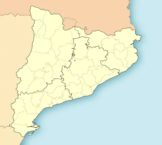
 Sant Llorenç de Morunys Location in Catalonia | |
| Coordinates: 42°08′19″N 1°35′30″E / 42.13861°N 1.59167°E | |
| Country | |
| Community | |
| Province | Lleida |
| Comarca | Solsonès |
| Government | |
| • Mayor | Francesc Xavier Mas Pintó (2015)[1] |
| Area | |
| • Total | 4.3 km2 (1.7 sq mi) |
| Elevation | 925 m (3,035 ft) |
| Population (2018)[3] | |
| • Total | 934 |
| • Density | 220/km2 (560/sq mi) |
| Demonym(s) | Piteu, pitea |
| Website | santllorens |
Sant Llorenç de Morunys is a municipality in the comarca of the Solsonès in Catalonia, Spain. It is situated in the Lord valley in the north of the comarca below the pyrenean massif of Port del Comte. The shrine of Lord is located in an exclave of the municipality between Guixers and Navès. The town is served by the L-401 road between Coll de Nargó and Berga.
The medieval walls of the town and four of the gateways have been preserved. The eleventh-century church of Sant Llorenç is a protected historico-artistic monument.
A Benedictine Monestir de Sant Llorenç de Morunys was built in the 11th century, continuing the romanesque architecture.
Demography
| 1900 | 1930 | 1950 | 1970 | 1986 | 2007 |
|---|---|---|---|---|---|
| 769 | 653 | 665 | 811 | 885 | 1004 |
References
- ↑ "Ajuntament de Sant Llorenç de Morunys". Generalitat of Catalonia. Retrieved 2015-11-13.
- ↑ "El municipi en xifres: Sant Llorenç de Morunys". Statistical Institute of Catalonia. Retrieved 2015-11-23.
- ↑ Municipal Register of Spain 2018. National Statistics Institute.
External links
- Official website (in Catalan)
- Government data pages (in Catalan)
This article is issued from Wikipedia. The text is licensed under Creative Commons - Attribution - Sharealike. Additional terms may apply for the media files.