H. Asan Airport Bandar Udara H. Asan | |||||||||||
|---|---|---|---|---|---|---|---|---|---|---|---|
| Summary | |||||||||||
| Airport type | Public | ||||||||||
| Location | Sampit, Central Kalimantan, Indonesia | ||||||||||
| Time zone | WIB (UTC+07:00) | ||||||||||
| Elevation AMSL | 50 ft / 15 m | ||||||||||
| Coordinates | 02°29′57″S 112°58′30″E / 2.49917°S 112.97500°E | ||||||||||
| Website | sampitairport | ||||||||||
| Map | |||||||||||
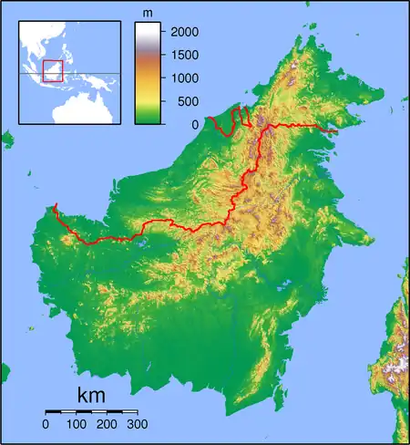
 SMQ Location of airport in Indonesia | |||||||||||
| Runways | |||||||||||
| |||||||||||
Sampit Airport (also known as H. Asan Airport (IATA: SMQ, ICAO: WAGS, FAA LID: Formerly WAOS)),[1][2] is a public airport in Sampit, Central Kalimantan, Indonesia. It is located on the island of Kalimantan, also known as Borneo. It is able to accommodate Airbus A320 and Boeing 737-sized aircraft.
The airport is located 6 km North East of the city center.
Airlines and destinations
| Airlines | Destinations |
|---|---|
| NAM Air | Jakarta–Soekarno-Hatta |
| Wings Air | Surabaya |
Former Airlines
References
- ↑ Swartz, Karl L. "SMQ - Airport". Great Circle Mapper. Retrieved 2022-07-25.
- ↑ "Airport information for WAGS – Hasan Airport". World Aero Data. Archived from the original on 2019-03-05.
{{cite web}}: CS1 maint: unfit URL (link) Data current as of October 2006.
External links
This article is issued from Wikipedia. The text is licensed under Creative Commons - Attribution - Sharealike. Additional terms may apply for the media files.