Sakurajima Station 桜島駅 | |||||||||||
|---|---|---|---|---|---|---|---|---|---|---|---|
 Station building, 2019 | |||||||||||
| General information | |||||||||||
| Location | 1-2-5 Sakurajima, Konohana Ward, Osaka City Osaka Prefecture Japan | ||||||||||
| Operated by | |||||||||||
| Line(s) | P JR Yumesaki Line | ||||||||||
| Platforms | 1 island platform | ||||||||||
| Tracks | 2 | ||||||||||
| Construction | |||||||||||
| Structure type | At grade | ||||||||||
| Other information | |||||||||||
| Station code | JR-P17 | ||||||||||
| History | |||||||||||
| Opened | 15 April 1910 | ||||||||||
| Passengers | |||||||||||
| 2020 | 9,809 daily | ||||||||||
| Services | |||||||||||
| |||||||||||
| Location | |||||||||||
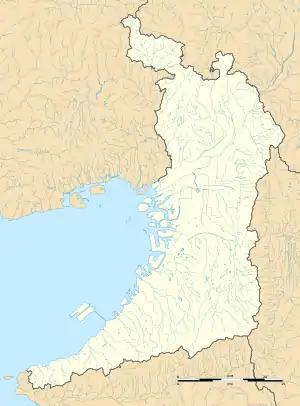
 Sakurajima Station Location within Osaka Prefecture  Sakurajima Station Sakurajima Station (Kansai region)  Sakurajima Station Sakurajima Station (Japan) | |||||||||||
Sakurajima Station (桜島駅, Sakurajima-eki) is a train station on the West Japan Railway Company Sakurajima Line (JR Yumesaki Line) in Konohana-ku, Osaka, Osaka Prefecture, Japan. It is the terminus of the line. The station lies at the southwest edge of Universal Studios Japan (and once existed where the park now stands, before the line was rerouted); however, the park can only be accessed from Universal City Station, the next station on the line.
Layout
The station has an island platform serving two tracks.
| 1, 2 | ■ JR Yumesaki Line | for Nishikujo and Osaka |
History
Station numbering was introduced in March 2018 with Sakurajima being assigned station number JR-P17.[1][2]
References
- ↑ "近畿エリアの12路線 のべ300駅に「駅ナンバー」を導入します!" ["Station numbers" will be introduced at a total of 300 stations on 12 lines in the Kinki area!]. westjr.co.jp (in Japanese). 20 July 2016. Archived from the original on 16 November 2022. Retrieved 30 December 2022.
- ↑ "「駅ナンバー」一覧表" ["Station number" list] (PDF). westjr.co.jp (in Japanese). 20 July 2016. Archived from the original (PDF) on 16 November 2022. Retrieved 30 December 2022.
34°39′42.97″N 135°25′55.8″E / 34.6619361°N 135.432167°E
This article is issued from Wikipedia. The text is licensed under Creative Commons - Attribution - Sharealike. Additional terms may apply for the media files.