Sæbø | |
|---|---|
Village | |
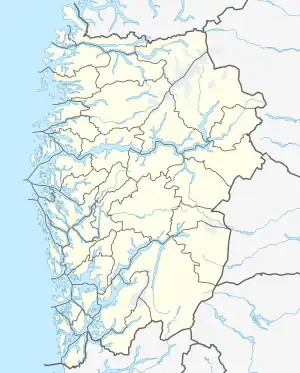
 Sæbø Location of the village  Sæbø Sæbø (Norway) | |
| Coordinates: 60°36′48″N 05°09′11″E / 60.61333°N 5.15306°E | |
| Country | Norway |
| Region | Western Norway |
| County | Vestland |
| District | Nordhordland |
| Municipality | Alver |
| Elevation | 69 m (226 ft) |
| Time zone | UTC+01:00 (CET) |
| • Summer (DST) | UTC+02:00 (CEST) |
| Post Code | 5938 Sæbøvågen |
Sæbø is a village in the municipality of Alver in Vestland county, Norway. The village is located along the Radfjorden on the southern coast of the island of Radøy, about 1.5 kilometres (0.93 mi) west of the village of Austmarka and about 8.5 kilometres (5.3 mi) south of the village of Manger. The village is the site of Sæbø Church which serves the southern part of Radøy municipality.

View of the local church
Sæbø was the administrative centre of the old municipality of Sæbø which existed from 1924 until 1964.[2]
References
- ↑ "Sæbø, Radøy" (in Norwegian). yr.no. Retrieved 9 April 2014.
- ↑ Store norske leksikon. "Sæbø. – kommune" (in Norwegian). Retrieved 9 April 2014.
This article is issued from Wikipedia. The text is licensed under Creative Commons - Attribution - Sharealike. Additional terms may apply for the media files.