São Bento | |
|---|---|
 Coat of arms | |
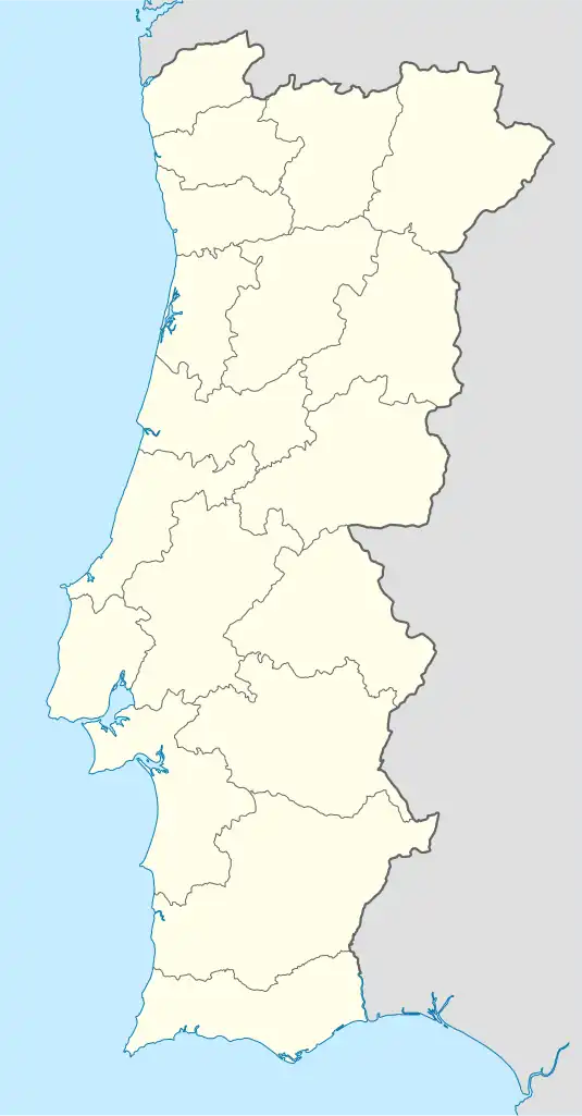
 São Bento Location in Portugal | |
| Coordinates: 39°31′35″N 8°47′18″W / 39.52639°N 8.78833°W | |
| Country | |
| Region | Centro |
| Intermunic. comm. | Região de Leiria |
| District | Leiria |
| Municipality | Porto de Mós |
| Area | |
| • Total | 39.70 km2 (15.33 sq mi) |
| Population (2021) | |
| • Total | 751 |
| • Density | 19/km2 (49/sq mi) |
| Time zone | UTC±00:00 (WET) |
| • Summer (DST) | UTC+01:00 (WEST) |
| Website | https://www.freguesiadesaobento.pt/ |
São Bento is a civil parish in the municipality of Porto de Mós, Portugal. The population in 2021 was 751, in an area of 39.70 km2.[1] It was created on 31 May 1933 by law No.22:602.[2]
|
References
- ↑ "Resultados Preliminares Censos 2021 INE". Retrieved 10 January 2022.
- ↑ "Diário do Govêrno" (PDF). 31 May 1933.
- ↑ "Statistics Portugal - Web Portal". www.ine.pt. Retrieved 2021-06-15.
This article is issued from Wikipedia. The text is licensed under Creative Commons - Attribution - Sharealike. Additional terms may apply for the media files.