| Rognon | |
|---|---|
 | |
  | |
| Location | |
| Country | France |
| Physical characteristics | |
| Mouth | Scey |
• coordinates | 47°34′10″N 6°29′45″E / 47.5694°N 6.4958°E |
| Length | 18.8 km (11.7 mi) |
| Basin features | |
| Progression | Scey→ Ognon→ Saône→ Rhône→ Mediterranean Sea |
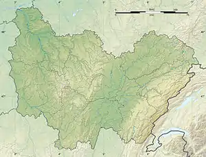
The Rognon is an 18.8 km long river in Haute-Saône department, eastern France.[1] It rises in Magny-Danigon and flows generally southwest to join the Scey in Beveuge. Its tributaries include the Clairegoutte and the Fau.
References
This article is issued from Wikipedia. The text is licensed under Creative Commons - Attribution - Sharealike. Additional terms may apply for the media files.