Ribeira Brava | |
|---|---|
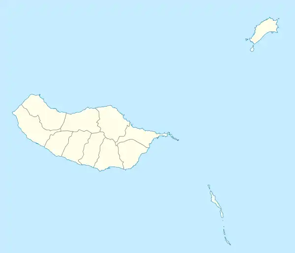
 Ribeira Brava Location in Madeira | |
| Coordinates: 32°40′16″N 17°03′50″W / 32.671°N 17.064°W | |
| Country | |
| Auton. region | Madeira |
| Municipality | Ribeira Brava |
| Area | |
| • Total | 18.48 km2 (7.14 sq mi) |
| Population (2011) | |
| • Total | 6,588 |
| • Density | 360/km2 (920/sq mi) |
| Time zone | UTC±00:00 (WET) |
| • Summer (DST) | UTC+01:00 (WEST) |

Church of São Bento
Ribeira Brava (Portuguese pronunciation: [ʁiˈβɐjɾɐ ˈβɾavɐ] ⓘ) is the name of a parish in the west-central part of Madeira, Portugal. It is part of the municipality of Ribeira Brava. It is located on the south coast of the island, 14 km west of Funchal. The population in 2011 was 6,588,[1] in an area of 18.48 km2.[2]
References
- ↑ Instituto Nacional de Estatística
- ↑ Eurostat Archived October 7, 2012, at the Wayback Machine
This article is issued from Wikipedia. The text is licensed under Creative Commons - Attribution - Sharealike. Additional terms may apply for the media files.