Rhea, Arkansas | |
|---|---|
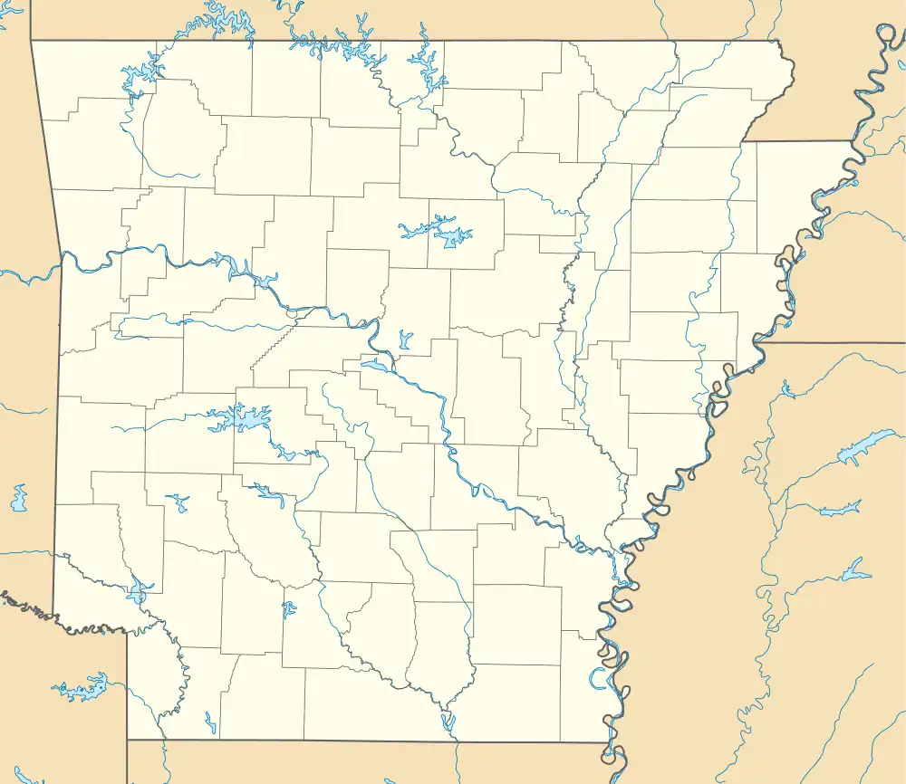
 Rhea, Arkansas Rhea's position in Arkansas | |
| Coordinates: 36°00′51.3″N 94°24′10.8″W / 36.014250°N 94.403000°W | |
| Country | United States |
| State | Arkansas |
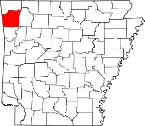
| County | Washington |
| Township | Rhea's Mill |
| Elevation | 1,129 ft (344 m) |
| Time zone | UTC-6 (Central (CST)) |
| • Summer (DST) | UTC-5 (CDT) |
| ZIP code | 72744 |
| Area code | 479 |
| GNIS feature ID | 81890 |
| U.S. Geological Survey Geographic Names Information System: Rhea, Arkansas | |
Rhea (formerly Rhea Mill and Rhea's Mill; pronounced ray /reɪ/[2]) is an unincorporated community in Rhea's Mill Township, Washington County, Arkansas, United States.[1] It is located on a county road north of Lincoln and Lincoln Lake. Weddington Mountain is just to the west.[3]
History
Variant names were "Rhea Mills" and "Rheas Mills". A post office called Rheas Mills was established in 1867; the name was changed to Rhea Mills in 1893, again to Rhea in 1894, and the post office closed in 1963.[4][5] The community has the name of William H. Rhea, an early postmaster.[4]
References
- 1 2 "Rhea, Arkansas". Geographic Names Information System. United States Geological Survey. Retrieved January 20, 2012.
- ↑ Holt, Alfred H. (1969). American Place Names. Detroit: Gale Research Company. p. 159. ISBN 9780810332355. Retrieved November 7, 2022.
The same 'ray' in Rea, Mo., Rhea, Ark. and Okla., and Rhea County, Tenn.
- ↑ Arkansas Atlas and Gazetteer (Map) (Second ed.). DeLorme. 2002. p. 22. ISBN 0-89933-345-1.
- 1 2 History of Benton, Washington, Carroll, Madison, Crawford, Franklin, and Sebastian Counties, Arkansas. Higginson Book Company. 1889. p. 321.
- ↑ "Post Offices". Jim Forte Postal History. Retrieved February 4, 2018.
This article is issued from Wikipedia. The text is licensed under Creative Commons - Attribution - Sharealike. Additional terms may apply for the media files.
