| Reef Fire | |
|---|---|
 The Reef Fire on August 28, 2017 | |
| Location | Bob Marshall Wilderness, Montana, United States |
| Coordinates | 47°20′53″N 113°24′07″W / 47.348°N 113.402°W |
| Statistics[1][2] | |
| Date(s) | August 13, 2017 – |
| Burned area | 10,658 acres (43 km2) |
| Cause | Lightning |
| Map | |
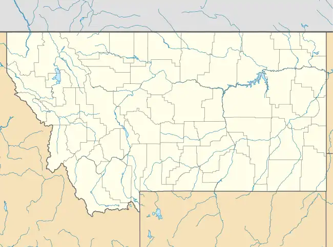
 Location of fire in Montana. | |
The Reef Fire was a wildfire that was started by a lightning strike and took place in the Bob Marshall Wilderness in Montana in the United States, near Count Peak. The fire, which was reported on August 13, 2017, burned more than 10,658 acres (43 km2) and was contained by October 1, 2017. Instead, it wound up merging with the Rice Ridge Fire.
Events
The Reef Fire was reported on August 13, 2017 at 5:45 PM. The fire, was located near Count Peak in the Bob Marshall Wilderness in the Flathead National Forest. The fire was being fueled by timber and sub-alpine fir. On September 3, the fire had crossed and moved downstream Babcock Creek, Youngs Creek and settled in Otter Creek. Before merging with the Rice Ridge Fire on September 5,[2] the fire was being monitored in its burn and was allowed to take its natural course due to concerns for firefighter safety given the rural location of the fire.[1]
Closures and evacuations
Numerous trails and trailheads were closed due to the Reef Fire, specifically: Cardinal Peak Divide # 136, Cabin Creek #205, Pilot Peak #128, Cardinal Creek #506, Young's Creek #141, Hahn Creek #125, Hahn Creek Cut-across #124, Otter Creek #279 and Blackfoot Divide #278 are closed due to fire behavior.[3]
References
- 1 2 "Reef Fire". Reef Fire. U.S. Forest Service. Retrieved 5 September 2017.
- 1 2 Gabbert, Author Bill (5 September 2017). "Rice Ridge Fire merges with Reef Fire". Wildfire Today. Retrieved 5 September 2017.
{{cite web}}:|first1=has generic name (help) - ↑ "9-6-17 Trail Closure due to Reef Fire, Order# D04-153-S-17". InciWeb. Helena - Lewis and Clark National Forest, U.S. Forest Service. Retrieved 16 September 2017.
External links
 Media related to Reef Fire at Wikimedia Commons