| Raundalen | |
|---|---|
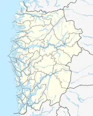
 Raundalen Location of the valley  Raundalen Raundalen (Norway) | |
| Length | 25 kilometres (16 mi) E-W |
| Geology | |
| Type | River valley |
| Geography | |
| Location | Vestland, Norway |
| Coordinates | 60°40′44″N 06°33′42″E / 60.67889°N 6.56167°E |
| River | Raundalselvi |
Raundalen (English: Raun Valley)[1][2] is a valley in Vestland county, Norway. The 25-kilometre (16 mi) long valley stretches from Uppsetedalen in the northwest corner of Ulvik municipality all the way to Urdland in central Voss municipality. The Bergen Line and County Road 307 (also known as also known as Raundalsvegen 'Raun Valley Road') run through the center of the valley, past the villages of Urdland, Skiple, Reimegrend, and Mjølfjell.[3]
References
- ↑ Lee, Phil (2003). The Rough Guide to Norway. London: Rough Guides. p. 214.
- ↑ Williams, Archibald (1909). Full text of "Engineering Wonders of the World, vol. 3. London: Thomas Nelson and Sons. p. 349.
- ↑ Store norske leksikon. "Raundalen" (in Norwegian). Retrieved 2014-05-14.
This article is issued from Wikipedia. The text is licensed under Creative Commons - Attribution - Sharealike. Additional terms may apply for the media files.