Rannia Zoria
Рання Зоря Ранняя Заря | |
|---|---|
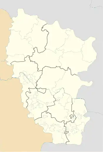
 Rannia Zoria Location of Rannia Zoria  Rannia Zoria Rannia Zoria (Ukraine) | |
| Coordinates: 49°15′33″N 40°11′53″E / 49.25917°N 40.19806°E | |
| Country | |
| Oblast | |
| Raion | Starobilsk Raion |
| Founded | 1920 |
| Area | |
| • Total | 0.84 km2 (0.32 sq mi) |
| Elevation | 173 m (568 ft) |
| Population | |
| • Total | 106 |
| • Density | 130/km2 (330/sq mi) |
| Time zone | UTC+2 (EET) |
| • Summer (DST) | UTC+3 (EEST) |
| Postal code | 92543 |
| Area code | +380 6465 |
Rannia Zoria (Ukrainian: Рання Зоря), originally Berezova-Yarsk then from 1928 until 2016 called Chervona Zirka,[1] is a village in Starobilsk Raion (district) in Luhansk Oblast of eastern Ukraine.
It is the most eastern Ukrainian municipality. The distance to the most western village Solomonovo in the Zakarpattia Oblast is 1,500 km (930 mi).
Demographics
Native language as of the Ukrainian Census of 2001:[2]
References
This article is issued from Wikipedia. The text is licensed under Creative Commons - Attribution - Sharealike. Additional terms may apply for the media files.