| RAF Tilshead | |||||||||||
|---|---|---|---|---|---|---|---|---|---|---|---|
| Tilshead, Wiltshire in England | |||||||||||
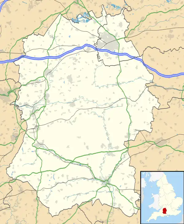
 RAF Tilshead Shown within Wiltshire | |||||||||||
| Coordinates | 51°13′40″N 001°58′13″W / 51.22778°N 1.97028°W | ||||||||||
| Type | Royal Air Force station | ||||||||||
| Site information | |||||||||||
| Owner | Air Ministry | ||||||||||
| Operator | Royal Air Force | ||||||||||
| Site history | |||||||||||
| Built | 1925 | ||||||||||
| In use | 1925-1941 | ||||||||||
| Airfield information | |||||||||||
| Elevation | 124 metres (407 ft) AMSL | ||||||||||
| |||||||||||
Royal Air Force Tilshead or more simply RAF Tilshead is a former Royal Air Force station west of Tilshead, Wiltshire, England and 9 miles (14 km) east of Warminster.
The unpaved airfield was open from 1925 until 1941.[1] Nearby at Shrewton, a relief landing ground controlled by No. 38 Wing RAF was open from 1940 to 1946.[2][3]
Based units
No. 16 Squadron RAF flew the Westland Lysander as a detachment for RAF Weston Zoyland between 15 August 1940 and 8 September 1941, conducting reconnaissance protecting the country from the planned invasion and looking for enemy movements.[4]
No. 225 (Army Co-operation) Squadron RAF also flew the Lysander[5] before moving to RAF Thruxton.[6]
The airfield also provided initial training period for the Glider Pilot Regiment providing basic flying training.[7]
Current use
The site is currently used by the British Army[1] as part of the Salisbury Plain training area and there is nothing left of the airfield.
References
- 1 2 "RAF Tilshead". Airfields of Britain Conservation Trust. Retrieved 4 April 2012.
- ↑ "Shrewton". Airfields of Britain Conservation Trust. Retrieved 26 January 2020.
- ↑ "RAF Shrewton/Tilshead". Wartime Memories Project. Retrieved 4 April 2012.
- ↑ "No. 16 Squadron (RAF): Second World War". History of War. Retrieved 4 April 2012.
- ↑ "RAF Tilshead". Air of Authority - A History of RAF Organisation. Retrieved 4 April 2012.
- ↑ "RAF Thruxton". Control Towers. Retrieved 5 April 2012.
- ↑ "Staff Sergeant Billy Marfleet GPR". BBC History. Retrieved 5 April 2012.