| Mirim Airport Pyongyang East Airfield | |||||||
|---|---|---|---|---|---|---|---|
미림비행장 美林飛行場 Mirim bihaengjang Mirim pihaengjang | |||||||
 Mirim  Mirim  Mirim .svg.png.webp) Mirim | |||||||
| Coordinates | 39°0′35″N 125°50′50″E / 39.00972°N 125.84722°E | ||||||
| Type | Military airfield | ||||||
| Site information | |||||||
| Owner | Korean People's Army Air Force | ||||||
| Controlled by | Korean People's Army Air Force | ||||||
| Condition | used by ultralight aircraft only | ||||||
| Site history | |||||||
| Built | 1940s | ||||||
| Built by | Imperial Japanese Army Air Service | ||||||
| In use | 1940s–present | ||||||
| Materials | concrete | ||||||
| Airfield information | |||||||
| Elevation | 9 m (30 ft) AMSL | ||||||
| |||||||
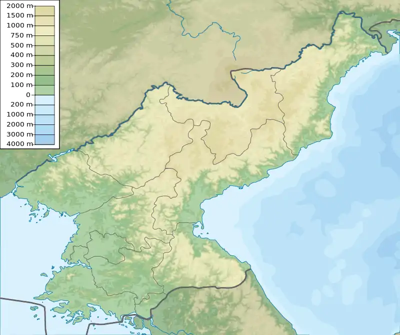
Mirim Airport, also known as Pyongyang East Airfield or K-24 Air Base, is an airport in Mirim-dong, Sadong-guyok, Pyongyang-si, North Korea.
Facilities
The airfield has a single concrete runway 09/27 measuring 4310 x 69 feet (1314 x 21 m).[1] It is sited along the Taedong River on the eastern edge of the capital city of Pyongyang. It has several taxiways, but the former airbase facilities are no longer used for air traffic. The site has since become a staging ground for large capital parades.[2][3]
North of the former airport is a 200 metres (660 ft) runway with two helipads and a single structure.
A new facility consisting of a single runway was constructed in 2016 located at 39°0′35″N 125°50′50″E / 39.00972°N 125.84722°E. Mirim Air Club operates ultralight aircraft from the airfield for tours around the city, which began in 2016.[4]
Rehearsals for all military parades usually take place 3–6 weeks prior to the actual parade at the Mirim Parade Training Facility, located on the eastern side of the base.[5][6][7]
History
Korean War
Following the capture of Pyongyang on 19 October 1950 the air base was put into service by the UN forces. The USAF designated the base K-24.[8]
USAF units stationed at the base included:
- 18th Fighter-Bomber Wing operating F-51s from 22 November–5 December 1950[8]
- Detachment F, 3rd Air Rescue Squadron[9]
- 6002nd Tactical Support Wing[8]
UN units stationed at the base included:
- 2 Squadron SAAF operating F-51s[8]
UN forces abandoned the base on 5 December 1950 as part of the evacuation of Pyongyang during the UN retreat from North Korea.[10] On 10 December 1950 B-29s bombed the airfield with high-explosive bombs.[9]: 263
Post-war
In May 1952, the 272nd Construction Unit of the North Korean Air Force under the direction of Soviet advisors were ordered to lengthen the runway.[11]
See also
References
- ↑ Landings database page Archived 2012-03-24 at the Wayback Machine "Landings.Com", accessed 10 Aug 2010,
- ↑ "Satellite Images Show Scale of Planned North Korea Parade". NDTV.com. October 9, 2015. Retrieved September 3, 2016.
- ↑ Oh, Jennie (January 30, 2018). "Defectors: North Koreans train in extreme cold for upcoming military parade". UPI.
Last week, satellite images detected movements of troops and military vehicles in a square near Mirim Airport, preparing for a mass performance.
- ↑ Talmadge, Eric (October 17, 2016). "Pyongyang's newest attraction: Sightseeing in an ultralight airplane". The Toronto Star.
- ↑ "Is North Korea Preparing for a Military Parade?". Beyond Parallel. April 10, 2019.
- ↑ "Past goose-steppers proud of place in North Korean parades". Associated Press. September 6, 2018.
- ↑ "Timeline of North Korean Military Parade Preparations | 38 North: Informed Analysis of North Korea". 38 North. January 24, 2018.
- 1 2 3 4 Y'Blood, William (2002). Down in the weeds: Close air support in Korea (PDF). Air Force Historical Studies Office. p. 21. ISBN 9781428990173.
 This article incorporates text from this source, which is in the public domain.
 - 1 2 Futrell, Frank (1983). The United States Air Force in Korea, 1950–1953 (PDF). Air Force History & Museums Program. p. 217. ISBN 9780912799711.
 This article incorporates text from this source, which is in the public domain.
 - ↑ Mossman, Billy (1988). United States Army in the Korean War: Ebb and Flow November 1950-July 1951. United States Army Center of Military History. pp. 153–5.
 This article incorporates text from this source, which is in the public domain.
 - ↑ Extension of Mirim-ni Airfield, 20 May 1952, Central Intelligence Agency.
![]() This article incorporates public domain material from the United States Air Force
This article incorporates public domain material from the United States Air Force