Povoda
Pódatejed | |
|---|---|
village | |
 Location of the village | |
| Coordinates: 47°58′25″N 17°38′30″E / 47.97361°N 17.64167°E | |
| Country | |
| Region | Trnava |
| District | Dunajská Streda |
| First written mention | 1940 |
| Government | |
| • Mayor | Sándor Csóka (Ind.) |
| Area | |
| • Total | 6.00[3] km2 (2.32[3] sq mi) |
| Elevation | 115[4] m (377[4] ft) |
| Population (2021)[5] | |
| • Total | 960[6] |
| • Estimate (2008) | 874 |
| Ethnicity | |
| • Hungarians | 78,61 % |
| • Slovaks | 18,24 % |
| Time zone | UTC+1 (EET) |
| • Summer (DST) | UTC+2 (EEST) |
| Postal Code | 929 01[4] |
| Area code | +421 31[4] |
| Website | obecpovoda |
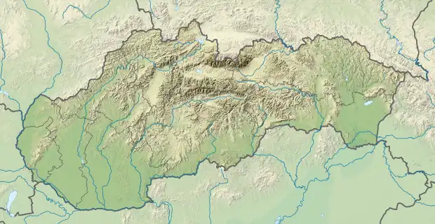
Povoda (Hungarian: Pódatejed, pronounced [ˈpoːdɒtɛjɛd]) is a village and municipality in the Dunajská Streda District in the Trnava Region of south-west Slovakia.
Component villages
| In Slovak | In Hungarian |
|---|---|
| Lidér Tejed | Lidértejed |
| Podafa | Pódafa |
| Čenkesfa | Csenkeszfa |
History
The municipality was organised in 1940, when its component villages were unified under the Hungarian name Pódafa, which was Slovakized as Povoda in 1948. Until the end of World War I, all three component villages were part of Hungary and fell within the Somorja district of Pozsony County. After the Austro-Hungarian army disintegrated in November 1918, Czechoslovak troops occupied the area. After the Treaty of Trianon of 1920, the villages became officially part of Czechoslovakia. In November 1938, the First Vienna Award granted the area to Hungary and it was held by Hungary until 1945. After Soviet occupation in 1945, Czechoslovak administration returned and the villages became officially part of Czechoslovakia in 1947.
Demography
As of 2001, 78.61% of its population were Hungarians while 18.24% were Slovaks. Roman Catholicism is the majority religion of the village, its adherents numbering 83.20% of the total population.[5]
References
- ↑ Local election results by the Statistical Office of the Slovak Republic, December 2006 Archived 2011-08-11 at the Wayback Machine
- ↑ Local election 2010 results by the Statistical Office of the Slovak Republic Archived 2011-08-11 at the Wayback Machine
- 1 2 "Hustota obyvateľstva - obce [om7014rr_ukaz: Rozloha (Štvorcový meter)]". www.statistics.sk (in Slovak). Statistical Office of the Slovak Republic. 2022-03-31. Retrieved 2022-03-31.
- 1 2 3 4 "Základná charakteristika". www.statistics.sk (in Slovak). Statistical Office of the Slovak Republic. 2015-04-17. Retrieved 2022-03-31.
- 1 2 3 "Urban and Municipal Statistics MOŠ". Archived from the original on 2011-08-11.
- ↑ "Počet obyvateľov podľa pohlavia - obce (ročne)". www.statistics.sk (in Slovak). Statistical Office of the Slovak Republic. 2022-03-31. Retrieved 2022-03-31.