| Pik Tofalariya | |
|---|---|
| Пик Тофалария | |
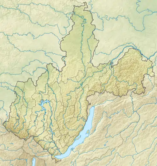
 Pik Tofalariya Location in Irkutsk Oblast, Russia  Pik Tofalariya Pik Tofalariya (Russia) | |
| Highest point | |
| Elevation | 2,892 m (9,488 ft)[1] |
| Coordinates | 53°38′27″N 97°14′15″E / 53.64083°N 97.23750°E[2] |
| Geography | |
| Location | Irkutsk Oblast, Russia |
| Parent range | Eastern Sayan Sayan Mountains |
Pik Tofalariya (Russian: Пик Тофалария) is a peak in Irkutsk Oblast, Russia. Although some sources claim it is the highest point of the federal subject,[3] in topographic charts it is marked as a 2,892 metres (9,488 ft) high peak. Thus 2,988 metres (9,803 ft) high Pik Martena in the Kodar Range is the highest point of Irkutsk Oblast.[4]
Description
Pik Tofalariya is located in the Eastern Sayan, Sayan Mountains, South Siberian System.[3] It rises above the Tofalariya territory, in the southwestern part of Nizhneudinsky District, near the Tuva border. The Uda river flows to the north of the northern slopes.[1]
See also
References
External links
This article is issued from Wikipedia. The text is licensed under Creative Commons - Attribution - Sharealike. Additional terms may apply for the media files.