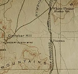
Parran | |
|---|---|
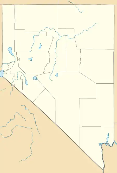
 Map of Nevada and Parran | |
 Parran | |
| Coordinates: 39°48′05″N 118°46′24″W / 39.8013°N 118.7732°W | |
| Country | United States |
| State | Nevada |
| County | Churchill County |
Parran was a telegraph station and post office in Churchill County, Nevada, United States. It was established in 1910 and closed in 1913.[1] The abandoned site is currently considered a ghost town.
History
Parran was first planned in 1902 as a telegraph station. The main idea was to serve a re-route through Hazen. The telegraph station and post office was officially opened on the 29th of January, 1910 and was closed on the 31st of July, 1913. It was built to assist the Kinney salt works, which only lasted seven years and shipped to farmers. The International Salt Company stopped working the project in 1912, which eventually lead to the closing of the station.[2][3]
References
- ↑ Carlson, Helen S. (1985). Nevada place names : a geographical dictionary. Reno: University of Nevada Press. ISBN 0-87417-403-1. OCLC 45733191.
- ↑ "Parran • Nevada Expeditions". www.nvexpeditions.com. Retrieved 2021-06-23.
- ↑ Bard, James C.; Busby, Colin I.; Endzweig, Pamela; Findlay, John M.; Kobori, Larry S.; Nissen, Karen M. (1980). A cultural resources overview of the Carson and Humboldt Sinks, Nevada (Report). Bureau of Land Management. Retrieved July 25, 2021.
This article is issued from Wikipedia. The text is licensed under Creative Commons - Attribution - Sharealike. Additional terms may apply for the media files.
