| Paka | |
|---|---|
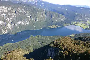
 The Paka in the Huda Luknja Gorge | |
| Location | |
| Country | Slovenia |
| Physical characteristics | |
| Source | |
| • location | Rinka Falls |
| Mouth | |
• location | Savinja |
• coordinates | 46°18′50″N 15°02′33″E / 46.3138°N 15.0425°E |
| Length | 40 km (25 mi) [1] |
| Basin size | 210 km2 (81 sq mi) [1] |
| Basin features | |
| Progression | Savinja→ Sava→ Danube→ Black Sea |
The Paka is a 40 km (25 mi) long river in Slovenia.[1] It flows through Velenje and it joins the Savinja as a left tributary.[2]
See also
References
- 1 2 3 Rivers, longer than 25 km, and their catchment areas, Statistical Office of the Republic of Slovenia
- ↑ Perko, Drago; Orožen Adamič, Milan (1998). "Vzhodne Karavanke". Slovenija: pokrajina in ljudje [Slovenia: The Landscape and the People]. p. 135. ISBN 9788611150338.
External links
 Media related to Paka (river) at Wikimedia Commons
- Condition of Paka - graphs, in the following order, of water level, flow and temperature data for the past 30 days (taken in Šoštanj by ARSO)
This article is issued from Wikipedia. The text is licensed under Creative Commons - Attribution - Sharealike. Additional terms may apply for the media files.
