Pa Kalan
ប៉ាកាឡាន់ | |
|---|---|
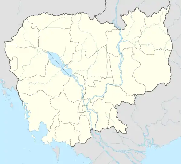
 Pa Kalan Location within Cambodia | |
| Coordinates: 13°57′00″N 106°46′00″E / 13.95°N 106.7667°E | |
| Country | |
| Province | Ratanakiri Province |
| District | Veun Sai |
| Villages | 2 |
| Population (1998) | |
| • Total | 943 |
| Time zone | UTC+07 |
| Geocode | 160908 |
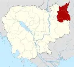
Pa Kalan (Khmer: ប៉ាកាឡាន់) is a commune in Veun Sai District in northeast Cambodia. It contains two villages and has a population of 943.[1] In the 2007 commune council elections, four seats went to members of the Cambodian People's Party and one seat went to a member of Funcinpec.[2] Land alienation is a problem of low severity in Pa Kalan.[3] (See Ratanakiri Province for background information on land alienation.)
Villages
| Village[1][4] | Population[1] (1998) | Sex ratio[1] (male/female) (1998) | Number of households[1] (1998) |
|---|---|---|---|
| Pa Kalan | 624 | 0.87 | 109 |
| Kampong Cham | 319 | 1.1 | 58 |
References
- 1 2 3 4 5 "Final Population Totals, Rotanak Kiri Province, 1998" (PDF). Cambodia National Institute of Statistics. Archived from the original (PDF) on October 29, 2008. Retrieved June 6, 2008.
- ↑ "Official Results of the 2007 Commune Councils Election in Ratank Kiri" (PDF). National Election Committee, No 4.58/07 NEC.SG.PIB. April 18, 2007. Archived from the original (PDF) on June 2, 2008. Retrieved June 6, 2008.
- ↑ "Land Alienation in Indigenous Minority Communities - Ratanakiri Province, Cambodia" (PDF). NGO Forum on Cambodia. August 2006. Archived from the original (PDF) on June 14, 2008. Retrieved June 6, 2008.
- ↑ "Commune name: Ratanak Kiri (រតនគីរី)". Cambodia National Institute of Statistics. Archived from the original on June 2, 2008. Retrieved June 6, 2008.
This article is issued from Wikipedia. The text is licensed under Creative Commons - Attribution - Sharealike. Additional terms may apply for the media files.
