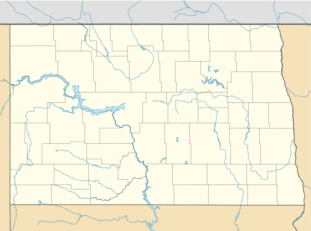
Niles, North Dakota | |
|---|---|
 Niles, North Dakota Location within the state of North Dakota | |
| Coordinates: 48°16′52″N 99°20′57″W / 48.28111°N 99.34917°W | |
| Country | United States |
| State | North Dakota |
| County | Benson |
| Elevation | 1,522 ft (464 m) |
| Time zone | UTC-7 (Mountain (MST)) |
| • Summer (DST) | UTC-6 (MDT) |
| Area code | 701 |
| GNIS feature ID | 1030409[1] |
Niles is an unincorporated community in Benson County, North Dakota, United States. It was situated along the Great Northern Railway.[2][3][4][5] It is located alongside U.S. Route 2, approximately 10 miles east of the city of Leeds.[6]
Locals to Niles call themselves Nilesite.[3]
History
In 1903, Great Northern railway sued local company Farmers' Independent Elevator Co. because of a grain elevator which they built on railway property allegedly without permission.[4]
References
- ↑ U.S. Geological Survey Geographic Names Information System: Niles, North Dakota
- ↑ "Niles Populated Place Profile / Benson County, North Dakota Data". northdakota.hometownlocator.com. Retrieved September 22, 2023.
- 1 2 "Niles(Benson, ND)". Roadside Thoughts.
- 1 2 Grain and Feed Journals Consolidated (1903). Volume 11. page 585.
- ↑ North American Locomotives: A Railroad-by-Railroad Photohistory. Brian Solomon. page 125.
- ↑ General Highway Map - Benson County North Dakota, North Dakota Department of Transportation (2022)
This article is issued from Wikipedia. The text is licensed under Creative Commons - Attribution - Sharealike. Additional terms may apply for the media files.
