| Montería Fault | |
|---|---|
| Falla de Montería | |
 | |
| Etymology | Montería |
| Coordinates | 08°40′27″N 75°55′51″W / 8.67417°N 75.93083°W |
| Country | |
| Region | Caribbean |
| State | Córdoba |
| Cities | Montería |
| Characteristics | |
| Range | Sinu-San Jacinto Basin |
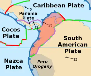
| Part of | Andean thrust faults |
| Length | 202.2 km (125.6 mi) |
| Strike | 010 ± 4 |
| Dip | East |
| Dip angle | High |
| Displacement | <0.2 mm (0.0079 in)/yr |
| Tectonics | |
| Plate | North Andean |
| Status | Inactive |
| Type | Thrust fault |
| Movement | Reverse |
| Age | Quaternary |
| Orogeny | Andean |
The Montería Fault (Spanish: Falla de Montería) is a thrust fault in the department of Córdoba in northern Colombia. The fault has a total length of 202.2 kilometres (125.6 mi) and runs along an average north-northwest to south-southeast strike of 010 ± 4 in the Sinú-San Jacinto Basin.
Etymology
Description
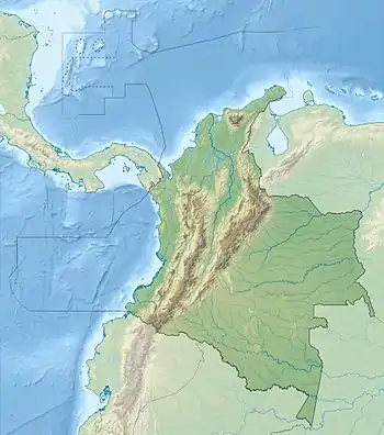
The fault is located in the northwest corner of the country. It extends through the Sinú Valley and passes close to the city of Montería. The fault places upper Tertiary rocks of the Sinú Belt (to the west) against lower Tertiary rocks of the San Jacinto Belt (to the east). To the north, the fault is covered by young alluvial deposits.[1]
See also
References
Bibliography
- Paris, Gabriel; Michael N. Machette; Richard L. Dart, and Kathleen M. Haller. 2000. Map and Database of Quaternary Faults and Folds in Colombia and its Offshore Regions, 1–66. USGS. Accessed 2017-09-18.
- Paris, Gabriel; Michael N. Machette; Richard L. Dart, and Kathleen M. Haller. 2000. Map of Quaternary Faults and Folds of Colombia and Its Offshore Regions, 1. USGS. Accessed 2017-09-18.
This article is issued from Wikipedia. The text is licensed under Creative Commons - Attribution - Sharealike. Additional terms may apply for the media files.


