| Moel Penamnen | |
|---|---|
.jpg.webp) Moel Penamnen from Manod Mawr | |
| Highest point | |
| Elevation | 628 m (2,060 ft)[1][2] |
| Prominence | 138 m (453 ft)[2] |
| Parent peak | Manod Mawr |
| Listing | Hewitt, Nuttall, HuMP |
| Coordinates | 53°01′00″N 3°54′56″W / 53.01655°N 3.91549°W |
| Geography | |
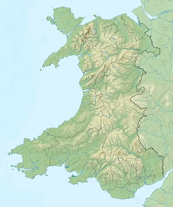
 Moel Penamnen Gwynedd, Wales | |
| Parent range | Moelwynion |
| OS grid | SH716483 |
| Topo map | OS Landranger 115 |
Moel Penamnen is a mountain just north of Blaenau Ffestiniog, North Wales and forms part of the Moelwynion.
It may be climbed from the Crimea Pass via Moel Barlwyd, from Blaenau Ffestiniog or Cwm Penamnen to the north. A circular of Cwm Penamnen can be done taking in Y Ro Wen. It may also be combined with its parent peak Manod Mawr, however the pass between these peaks is extremely boggy and there are many mines, air shafts and open quarries in the area.[3]
References
- ↑ "Topographic map of Moel Penamnen". opentopomap.org. Retrieved 13 June 2023.
- 1 2 "Moel Penamnen". hill-bagging.co.uk. Retrieved 13 June 2023.
- ↑ Nuttall, John & Anne (1999). The Mountains of England & Wales - Volume 1: Wales (2nd edition ed.). Milnthorpe, Cumbria: Cicerone. ISBN 1-85284-304-7.
External links
This article is issued from Wikipedia. The text is licensed under Creative Commons - Attribution - Sharealike. Additional terms may apply for the media files.